Sagres Point
Portugal /
Algarve /
Lagos /
World
/ Portugal
/ Algarve
/ Lagos
World / Portugal / Faro / Vila do Bispo
headland (geography), interesting place, invisible


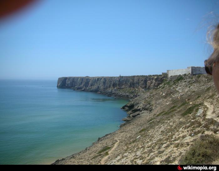
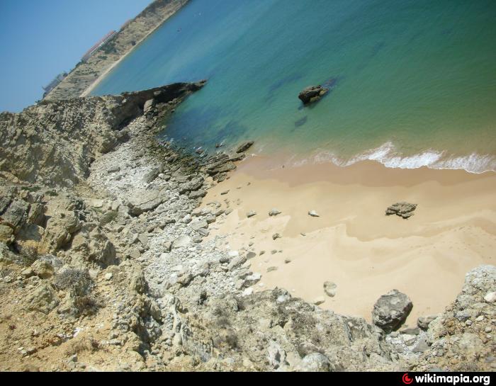
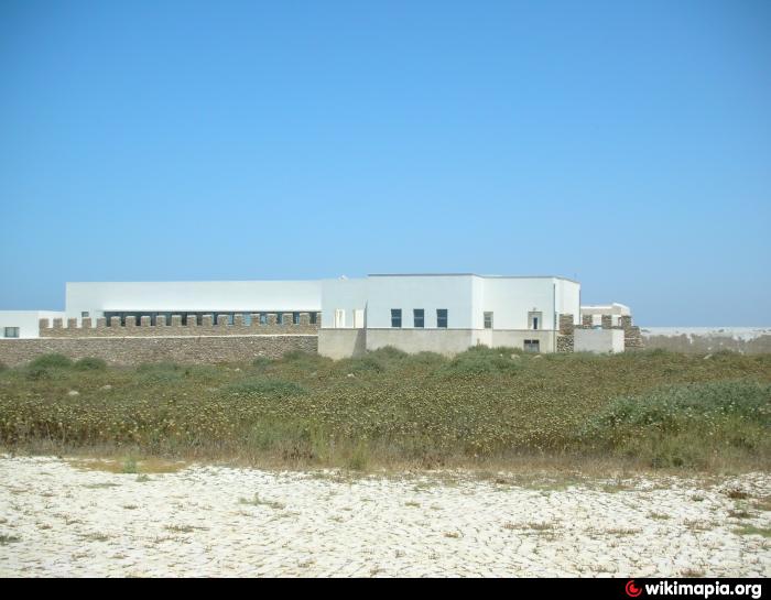
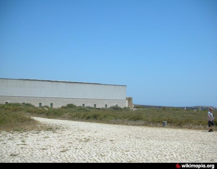
Sagres Point (Ponta de Sagres, -pt, from the Latin Promontorium Sacrum or Holy Promontory), is a windswept shelf-like promontory located in the southwest Algarve region of southern Portugal. Only 4 km to the west and 3 km to the north lies Cape St. Vincent (Portuguese: Cabo de São Vicente) which is usually taken as the southwesternmost tip of Europe. The vicinity of Sagres Point and Cape St. Vincent has been used for religious purposes since Neolithic times, to which standing menhirs near Vila do Bispo, a few miles from both points, attest.
Wikipedia article: http://en.wikipedia.org/wiki/Sagres_Point
Nearby cities:
Coordinates: 36°59'54"N 8°56'54"W
- Sagres Vilage 2.4 km
- Vale da Rasca 168 km
- Águas de Moura 179 km
- Rio Judeu 184 km
- Costa da Caparica 187 km
- Sarilhos Grandes 188 km
- Estoril 197 km
- Quinta da Penha Longa 201 km
- Cabo da Roca (Cape of the Rock) 205 km
- Sintra 205 km
- Sagres harbour 2.3 km
- Parque de Campismo Obitur Sagres 2.9 km
- Martinhal beach 3 km
- Praia do Belixe 3.4 km
- Martinhal Islands 3.4 km
- Figueira 13 km
- Salema Beach 14 km
- Parque Da Floresta - Vigia Resorts 4* 14 km
- Murração 18 km
- Vicentina Coast Natural Park 53 km