RAF Welford; remnants of WWII runway
United Kingdom /
England /
Wickham /
World
/ United Kingdom
/ England
/ Wickham
World / United Kingdom / England
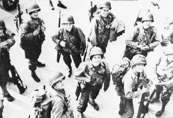
Second World War 1939-1945, military, historical layer / disappeared object


The outline of the runway is clearly visible in some areas.
Click this image for a better idea of appearance of the runway and surrounding area as it appeared in W.W. II.
upload.wikimedia.org/wikipedia/en/0/00/Welford-may44.jp...
Click this image for a better idea of appearance of the runway and surrounding area as it appeared in W.W. II.
upload.wikimedia.org/wikipedia/en/0/00/Welford-may44.jp...
Nearby cities:
Coordinates: 51°28'1"N 1°24'3"W
- USAF Welford NMSA 1.5 km
- RAF Welford 2.1 km
- AWE Aldermaston 19 km
- RAF Benson 27 km
- Bramley Camp 28 km
- Gibraltar Barracks 43 km
- Royal Military Academy, Sandhurst Training Area 45 km
- Aldershot Garrison 49 km
- Woolmer Range 55 km
- Baker Barracks 78 km
- Chaddleworth House - grounds 3.5 km
- Mary Hare Grammar School Grounds 6.1 km
- Deanwood Park Golf Club 6.6 km
- Newbury show ground 7 km
- Donnington Grove Country Club 7 km
- Vodafone PLC World Headquarters 8 km
- 42 Engineer Regiment (Geographic) 8.1 km
- Northcroft 8.4 km
- West Fields 9 km
- henwick worthy playing field 11 km