Eckley, California
USA /
California /
Crockett /
World
/ USA
/ California
/ Crockett
World / United States / California
historic ruins
Add category
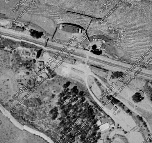
Eckley was a city in Contra Costa County, California which served as a ferry landing for crossings of the Carquinez Strait prior to the construction of the Carquinez Bridge. The townspeople were very active in the sport of baseball and about a dozen company teams were supported. The population decreased with the construction of the bridge and in the late 20th Century the last residents left. There was active farming and grazing in the area. Much of the population relocated to Crockett.
Wikipedia article: http://en.wikipedia.org/wiki/Eckley,_California
Nearby cities:
Coordinates: 38°3'11"N 122°12'2"W
- TXI - Pacific Custom Materials, Inc. 2.2 km
- Berkeley Pier Ruins 25 km
- Oak Knoll Naval Hospital 31 km
- Mt Tamalpais West Peak/Mill Valley Air Force Station 39 km
- Former Naval Auxiliary Air Station, Vernalis 92 km
- Boca, California 235 km
- Farrington Ranch 270 km
- Airport Sandflat 282 km
- Aurora, Nevada 290 km
- Old Camp Independence (site) 377 km
- Carquinez Strait 0.7 km
- Crockett, California 2.1 km
- Glen Cove 2.6 km
- Crockett Hills Regional Park 2.8 km
- John A De Martini Ranch 3.3 km
- John A De Martini Ranch 3.7 km
- ConocoPhillips Oil Refinery 4.4 km
- Conoco Phillips Properties 4.6 km
- Rodeo, California 6 km
- Carquinez Strait Regional Shoreline (East) 6 km