Byblos District
Lebanon /
Jabal Lubnan /
Jubayl /
World
/ Lebanon
/ Jabal Lubnan
/ Jubayl
, 18 km from center (جبيل)
World / Lebanon / Mount Lebanon
district, second-level administrative division, draw only border
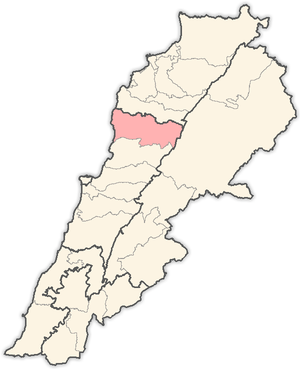
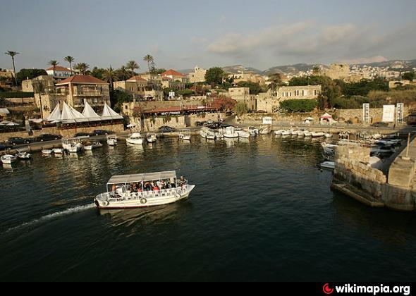
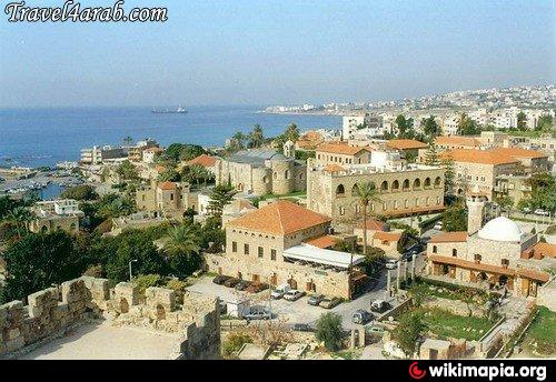
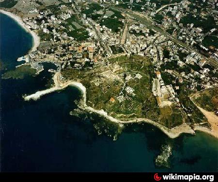
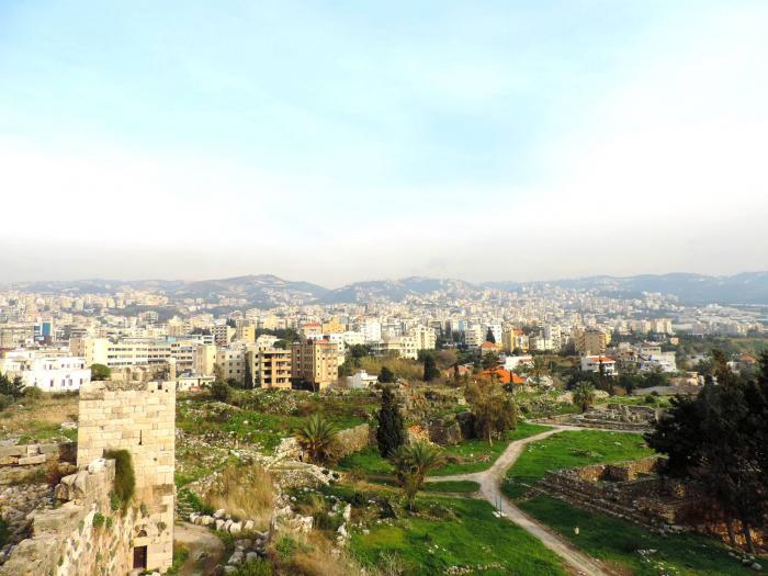
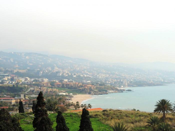
Byblos District (Arabic: قضاء جبيل; transliteration: Qadaa' Jbeil), also called the Jbeil District (Jbeil is Lebanese Arabic for "Byblos"; standard Arabic Jubail), is a district (qadaa) of the Mount Lebanon Governorate of Lebanon. It is located to the northeast of Lebanon's capital Beirut. The capital is Byblos. The rivers of al-Madfoun and Nahr Ibrahim form the district's natural northern and southern borders respectively, with the Mediterranean Sea bordering it from the west and Mount Lebanon from the east, separating it from the adjacent district of Baalbek in the Beqaa Valley.
Wikipedia article: http://en.wikipedia.org/wiki/Byblos_District
Nearby cities:
Coordinates: 34°7'26"N 35°49'12"E
- Al-Raqqah Governorate 357 km
- Euphrates Region (DFNS) 370 km
- Al-Qa'im District (ICR) 383 km
- Elbistan District 507 km
- Baiji District (ICR) 625 km
- Tikrit District (ICR) 678 km
- Zara District 694 km
- Makhmur District (KRG) 723 km
- İspir District 857 km
- Yusufeli District 909 km
- Wardiyat 1 km
- terrain 1.4 km
- ARBI 2.5 km
- Laqlouq Ski Domain 2.9 km
- Serenity Lebanon (Jaj) 3 km
- Arz Jaj cedars 3.1 km
- Hsayya 3.2 km
- Hardan's District 3.4 km
- Batroun District 13 km
- North Lebanon Governorate 26 km
Comments