Dingli Radar (Dingli)
Malta /
Western /
Dingli
World
/ Malta
/ Western
/ Dingli
World
radar station
Add category
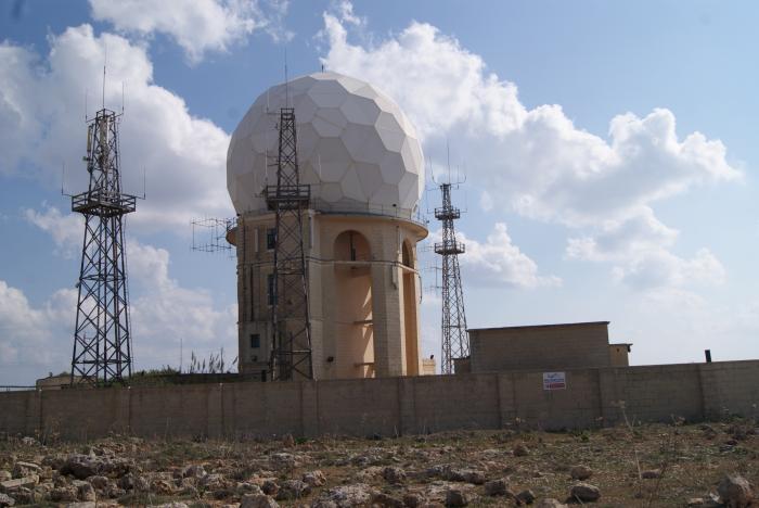
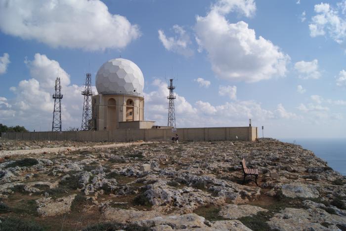
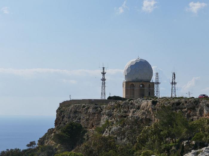
The Dingli Radar was the first station in the Maltese Islands, mounted at Dingli Cliffs on 27th March 1939 to plot aircraft in the vicinity of Dingli Cliffs.The Radar also has an underground radar complex that was used by the British in the Second World War. This system was part of a triangulation arrangement, connecting Dingli Cliffs to Tas-Silġ and Wardija. Obtained information passed to the filter room at Lascaris War Room in Valletta, then forwarded to plotters who placed counters on a map. RAF fighters would then have been able to intercept enemy formations.
Nearby cities:
Coordinates: 35°51'8"N 14°22'53"E
- Okba Ibn Nafa SAM site 436 km
- 1st National Air Control Centre 809 km
- HAWK Battery 890 km
- Military Underground Command Base 1749 km
- Dimona X-band Radar Site 1995 km
- Army Radar Base 2032 km
- Radar Base 2032 km
- Rainabi Army Radar Base 2056 km
- "Bunker Town" 2082 km
- Air Defence IOC 2768 km
- Dingli Cliffs 0.1 km
- Savio College, Dingli 0.9 km
- Clapham Junction (cart ruts) 1.4 km
- Buskett woods 1.8 km
- Ghar Barka Housing Estate 3 km
- Malta Seminary 3.1 km
- Water reservoir 4 km
- Mdina 4.2 km
- Filfla 7.7 km
- Malta 8.2 km