Nuneaton Town Centre Directory (Nuneaton)
United Kingdom /
England /
Nuneaton
World
/ United Kingdom
/ England
/ Nuneaton
World / United Kingdom / England
tourist information board
Add category


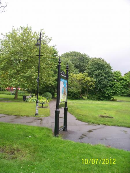

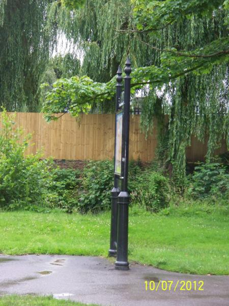
This is a directory board for tourist's and for the general public. On one side of the board it shows a map of the Nuneaton town centre, where shops and other places are situated in the town centre. While the other side of the directory board, displays detailed information about the George Eliot Memorial Gardens.
Nearby cities:
Coordinates: 52°31'16"N 1°27'58"W
- Bridgnorth 67 km
- Prom Coffee Shop and Tourist Information Centre 167 km
- Tourist Information Office 320 km
- Glendalough Visitor Centre & Car Park 332 km
- Skerries Mill 332 km
- Edinburgh tour bus stop 398 km
- Loch Lomond Shores 438 km
- Waterville Tourist Information Office 599 km
- Hof 1734 km
- Esjan 1743 km
- The Ropewalk Shopping Centre 0.2 km
- Nuneaton Town Centre 0.2 km
- The Parade 0.3 km
- Riversley Park 0.3 km
- Abbey Street Car Park 0.4 km
- Abbey 0.7 km
- St Nicolas 1.7 km
- Wem Brook 1.7 km
- Chilvers Coton 3.1 km
- Warwickshire 24 km
Comments