Herman Gulch
USA /
Colorado /
Montezuma /
World
/ USA
/ Colorado
/ Montezuma
World / United States / Colorado
mountain, ravine

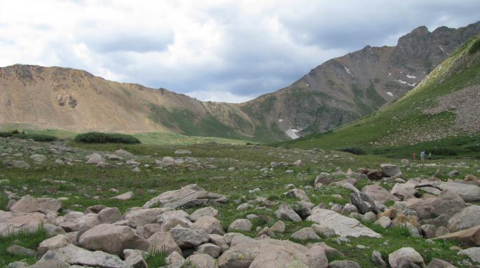
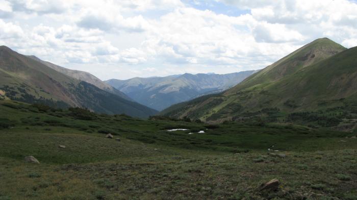
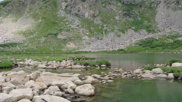
Entrance to Herman Lake.
Text from www.sangres.com/sports/hike/ :
"The first section of this trail follows an old jeep road out of the forested area and into subalpine fields of wildflowers. After 1.5 miles, the trail rises above timberline and follows rock cairns to Herman Lake. There are numerous places to camp along this moderately difficult trail. Elevation Gain: 1,600 feet."
Wikipedia article: http://en.wikipedia.org/wiki/Gulch
Nearby cities:
Coordinates: 39°42'52"N 105°52'34"W
- Keystone, Colorado 16 km
- Buffalo Mtn 25 km
- SKY Mountain 32 km
- Copper Mountain Village 35 km
- Mount Arkansas 48 km
- Mount Sherman (14,036 ft) 59 km
- Upper Colorado 74 km
- Mount Massive (14421 Ft) 78 km
- La Plata Peak (14,336 ft) 92 km
- Mount Yale (14,196 ft) 103 km
- Loveland Ski Area 4.5 km
- Eisenhower-Johnson Memorial Tunnels 5.4 km
- Urad Mine 5.7 km
- Henderson Mine 6.6 km
- Arapahoe Basin Ski Resort 10 km
- Henderson Mine and Mill conveyor 13 km
- Dillon Valley, Colorado 16 km
- East Branch Reservoir 22 km
- Henderson Mine mill 23 km
- Henderson Mine Tailings Pond 26 km