MacDonnell Ranges
Australia /
Northern Territory /
Alice Springs /
World
/ Australia
/ Northern Territory
/ Alice Springs
World / Australia / Northern Territory
mountain
Add category
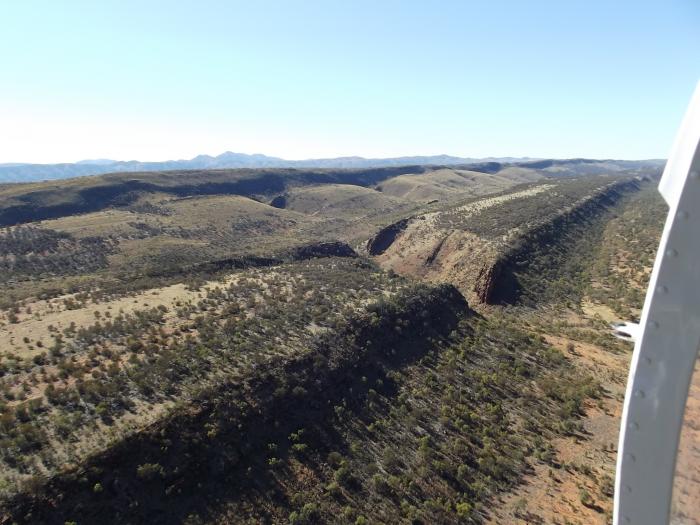
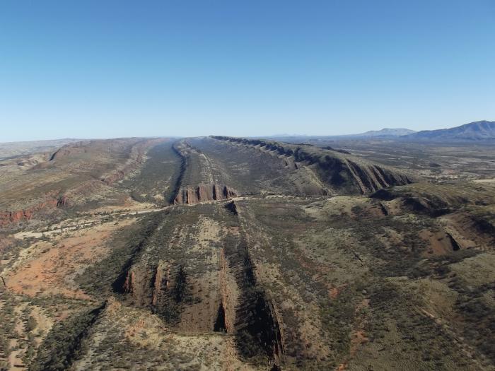
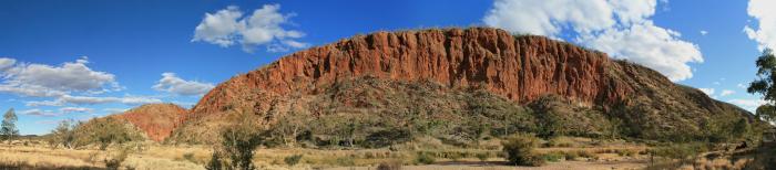
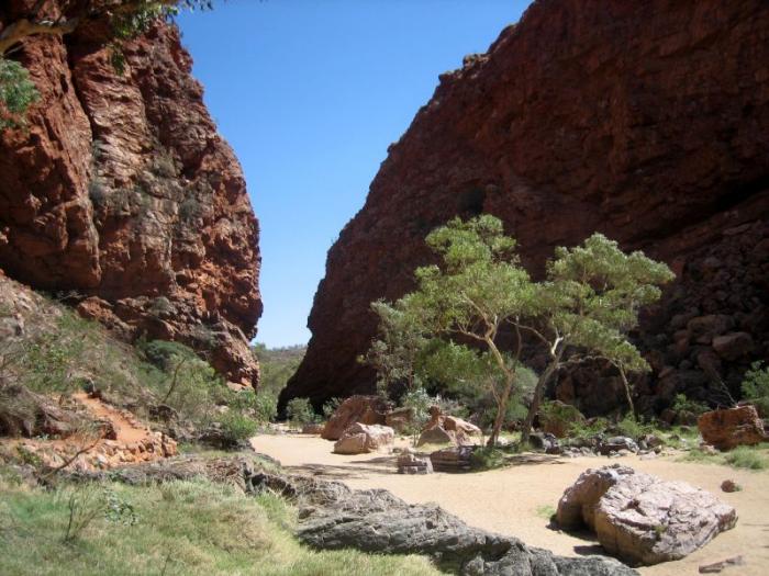
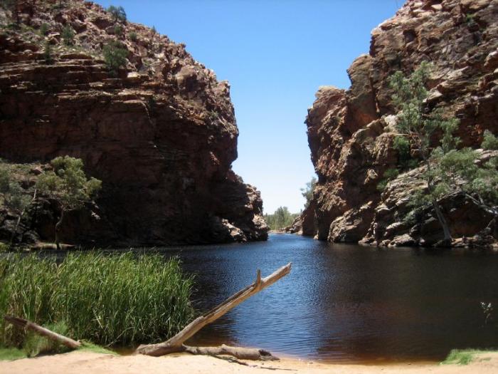
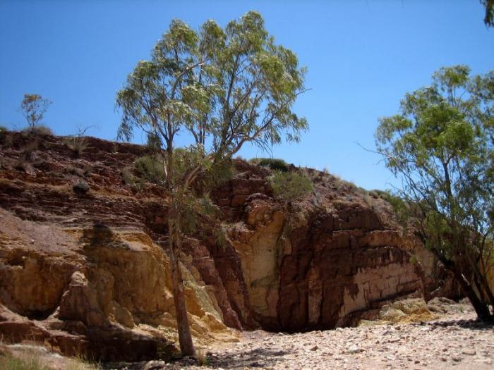
Mountain range in Northern Territory, central Australia, running east to west in parallel ridges for 644 km/400 mi. The highest peaks are Mount Liebig (1,524m/5,000 ft) and Mount Zeil (1,510 m/4,955 ft). The town of Alice Springs is situated in the middle of the Macdonnell Ranges.
Wikipedia article: http://en.wikipedia.org/wiki/MacDonnell_Ranges
Nearby cities:
Coordinates: 23°36'5"S 132°26'19"E
- Mount Sonder 12 km
- Mount Giles 39 km
- Kata Tjuta / Mount Olga 254 km
- The Hancock Range 1358 km
- Mount Ragged 1401 km
- Mount Bruce 1471 km
- Bubbowroo 1556 km
- Jack Hills 1579 km
- Mount Narryer 1651 km
- Mount Cooke 1861 km
- Gosse's Bluff Impact Crater 28 km
- Finke Gorge National Park 71 km
- Lake Lewis 81 km
- JORN Defence Receive Site, Off Tanami Road, MT EVERARD 127 km
- Joint Defence Facility Pine Gap 133 km
- Desert Knowledge Precinct 149 km
- Alice Springs Airport 151 km
- Nature park Trephina Gorge 197 km
- Arltunga Historical Reserve 233 km
- Nature park Ruby Gap 264 km
Comments