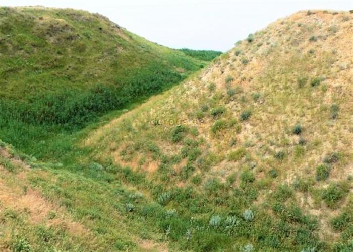
Ruins of the Perekop Fortress, Rampart and Moat
Ukraine /
Krym /
Armyansk /
World
/ Ukraine
/ Krym
/ Armyansk
, 4 km from center (Армянськ)
World / Ukraine / Crimea
place with historical importance, wall(s), archaeological site, fortification, trench, listed building / architectural heritage, historic ruins, object of cultural heritage of regional importance (Russia)
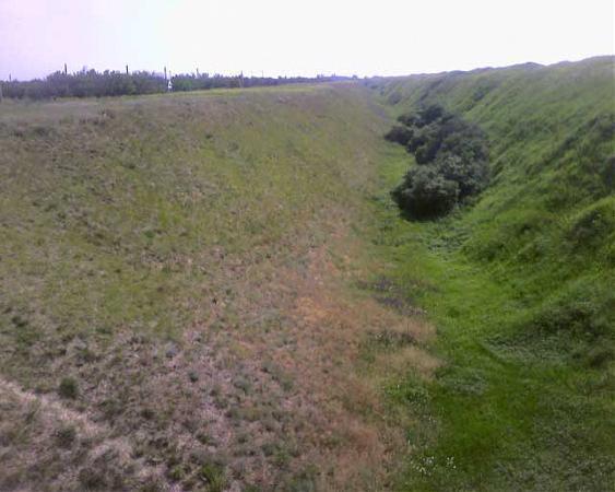
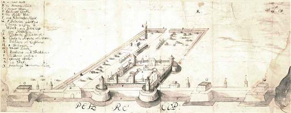
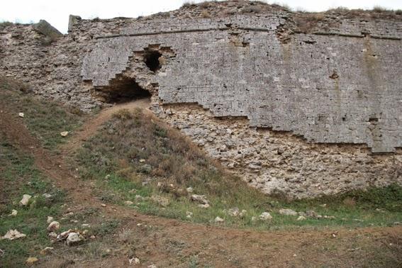
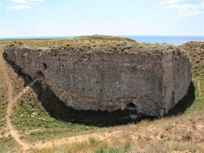
The Perekop fortress used to be of great military importance as the key to the Crimean Khanate. During the Russo-Turkish War (1735–1739), Russian Field Marshal Burkhard Christoph von Munnich successfully stormed the fortifications on June 17, 1736 and left the Tatar fortress in ruins. This was a serious, if not mortal, blow to the independence of the Crimean Khanate.
Wikipedia article: http://en.wikipedia.org/wiki/Perekop
Nearby cities:
Coordinates: 46°8'31"N 33°40'20"E
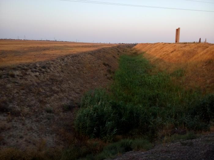
- Remains of anti-tank ditch 9 km
- Античное городище Панское 93 km
- Kherson fortress 98 km
- Olbia 150 km
- St. Elizabeth’s fortress 284 km
- Tighina Fortress 330 km
- Izmail Fortress 388 km
- The turf wall Cahul Lake - Cartal Lake 416 km
- Trajan's Wall of Niculitel 420 km
- Trajan's Wall of Niculitel 422 km
- Site of the Or Qapı (Ferah Kermen) Fortress 1.6 km
- Isthmus of Perekop 2.2 km
- Cemetery 2.8 km
- Salt Lake 4 km
- Reservoir 4.2 km
- Demarcation Line 5.1 km
- Remains of anti-tank ditch 5.8 km
- Acid tailings pond of Titan plant 6.5 km
- Western part of Sivash 15 km
- Karkinit Bay 49 km