Mighindoala
Romania /
Sibiu /
Mihaileni /
World
/ Romania
/ Sibiu
/ Mihaileni
World / Romania
village, ghost town
Mighindoala (in the Saxon dialect Ängenduel, Mon'enduel, in German Engental, Engeltal, Ingental, in Hungarian Ingodály) is a village in Șeica Mare commune in Sibiu county, Transylvania, Romania.
The village is mentioned for the first time in 1381 under the German name Engental (Narrow Valley).
At the 1930 census 225 inhabitants were registered, of which 155 Romanians, 66 Germans and 4 Hungarians. The denominational population consisted of 147 Greek Catholics, 66 Lutherans, 8 Orthodox and 4 Roman Catholics.
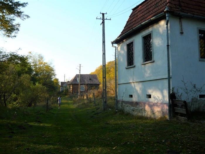
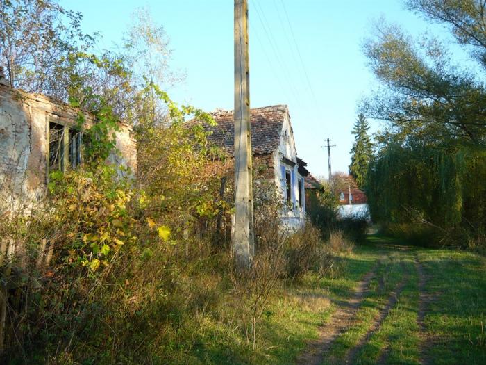
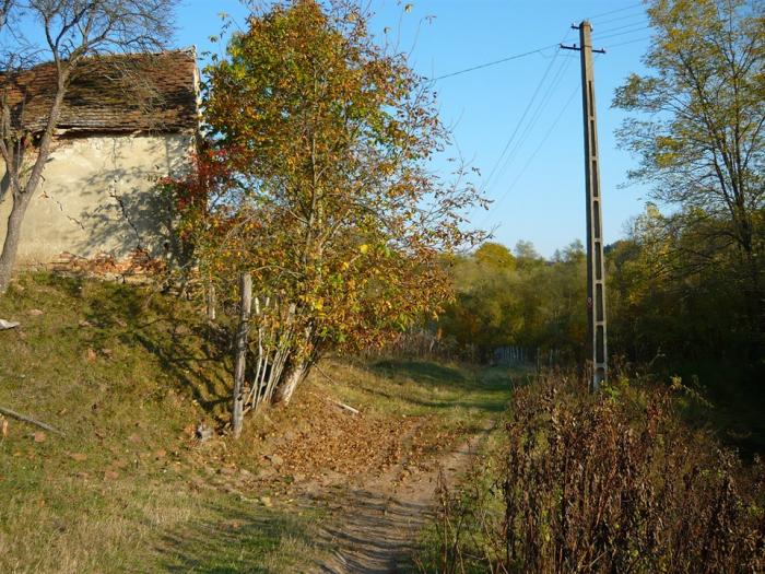
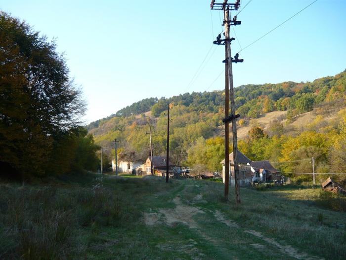
In 1975 the village had over 50 houses. Following the departure of the Transylvanian saxons and some landslides, the village depopulated.
In 1990, 6 families lived in Mighindoala (about 20 inhabitants, of which 8 Saxons and the rest Romanian)
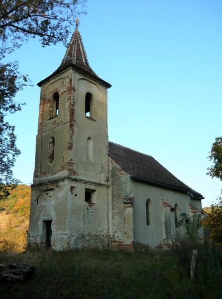
In 2004 there were only 4 permanent inhabitants and about only 10 buildings still standing. Among them was the evangelical/lutheran church. The Greek-Catholic church no longer had a roof and was crushed by vegetation.
In 2010 there were permanently 2 inhabitants.
The village is mentioned for the first time in 1381 under the German name Engental (Narrow Valley).
At the 1930 census 225 inhabitants were registered, of which 155 Romanians, 66 Germans and 4 Hungarians. The denominational population consisted of 147 Greek Catholics, 66 Lutherans, 8 Orthodox and 4 Roman Catholics.
In 1975 the village had over 50 houses. Following the departure of the Transylvanian saxons and some landslides, the village depopulated.
In 1990, 6 families lived in Mighindoala (about 20 inhabitants, of which 8 Saxons and the rest Romanian)
In 2004 there were only 4 permanent inhabitants and about only 10 buildings still standing. Among them was the evangelical/lutheran church. The Greek-Catholic church no longer had a roof and was crushed by vegetation.
In 2010 there were permanently 2 inhabitants.
Wikipedia article: http://ro.wikipedia.org/wiki/Mighindoala,_Sibiu
Nearby cities:
Coordinates: 45°59'57"N 24°16'42"E
- Slimnic 14 km
- Şura Mare 19 km
- Şelimbăr 25 km
- Şura Mică 25 km
- Cisnădioara 34 km
- Tocile (sat de vacanta) 35 km
- Răşinari 36 km
- Orlat 37 km
- Gura Râului 38 km
- Râu Sadului 44 km
- Mihăileni Canyon 6.2 km
- Sibiu County 12 km
- Lutheran cemetery 13 km
- Former Vurpar narrow gauge railway station 13 km
- Lutheran cemetery 13 km
- Lutheran cemetery 15 km
- Nocrich 18 km
- Karpaten Meat Group 21 km
- The Lutheran cemetery 22 km
- Villa Abbatis Equestrian Center 22 km