Latrun
Israel /
Hamerkaz /
Modiin-Makkabim-Reut /
World
/ Israel
/ Hamerkaz
/ Modiin-Makkabim-Reut
World / Palestinian territories / West Bank
region, historic district


The area of Latrun (Hebrew: לטרון) (al-Latrun in Arabic) is a region of the Ayalon Valley, about 15 kilometers west of Jerusalem and 14 kilometers southeast of Ramla.
Wikipedia article: http://en.wikipedia.org/wiki/Latrun
Nearby cities:
Coordinates: 31°50'4"N 34°58'56"E
- Nerya Block 20 km
- Judea 20 km
- Dutch Rehovot 21 km
- خربة حتا 24 km
- Special Precinct 32 km
- Coastal Repair Patch 34 km
- Former Erez industrial zone 52 km
- Ramot neighborhood 63 km
- Gaza Strip 77 km
- Gush Katif 87 km
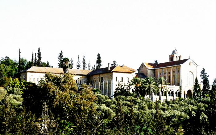
- Latroun Monastery 0.4 km
- Emmaus / Nicopolis / Imwas 0.9 km
- Canada (Ayalon) Park 2.5 km
- Mesilat Zion 4.6 km
- Shar Hill 5.2 km
- Mevo Horon 5.4 km
- Moriah neighborhood 5.6 km
- Neve Ilan Forest 6.9 km
- Railroad tunnel 12 km
- Mateh Binyamin 25 km
Comments