Hambaeksan (Taebaek-si)
Korea (South) /
Kangwon /
Taebaek /
Taebaek-si
World
/ Korea (South)
/ Kangwon
/ Taebaek
World / South Korea / Gangwon-do
mountain, green area
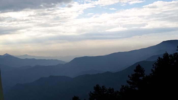

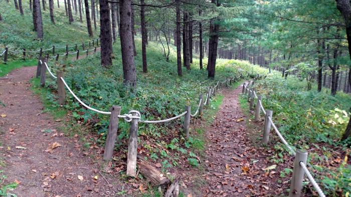
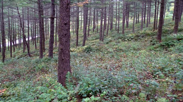
At an elevation of 1,573 meters above sea level, Hambaeksan (mountain) is the tallest mountain in the eastern part of Gangwon Province. The main ridge of the mountain stretches between the city of Taebaek to the east and Yeongwol and Jeongseon counties to the west. The mountain offers a fine vantage point from which to get a sweeping look at the entire region (including Taebaek and Baegun Mountains) and commands a striking view of the sunrise over East Sea.
Hambeaksan is also home to Jeongamsa (temple), which was built by Buddhist monk Jajangyulsa in the year 636 during the reign of Queen Seondeok of the Silla Kingdom. The temple is home to the Sumanotap Pagoda (Treasure No. 410) and is bordered by a stream that provides a natural habitat for the Brachmystax lenok (Natural Monument No. 73), a member of the trout family.
Hambeaksan is also home to Jeongamsa (temple), which was built by Buddhist monk Jajangyulsa in the year 636 during the reign of Queen Seondeok of the Silla Kingdom. The temple is home to the Sumanotap Pagoda (Treasure No. 410) and is bordered by a stream that provides a natural habitat for the Brachmystax lenok (Natural Monument No. 73), a member of the trout family.
Wikipedia article: http://en.wikipedia.org/wiki/Hambaeksan
Nearby cities:
Coordinates: 37°9'51"N 128°55'32"E
- Guryongsan 15 km
- Deokhangsan 25 km
- Tonggosan 32 km
- Sobaeksan 50 km
- Gariwangsan 51 km
- Seokbyeongsan 55 km
- Baekdeoksan 65 km
- Gyebangsan 81 km
- Chiaksan 88 km
- Juheulsan 90 km
- Taebeak Highland Vegtable Complex 7 km
- Ridge of the Wind - Maebongsan Wind Power Plant 7.4 km
- Haiwon Resort 9 km
- Duwibong 16 km
- Mureung-ri 16 km
- Daegeumgul 19 km
- Nam-myeon 20 km
- Gwangdong Resevoir 20 km
- Hwaamdonggul (cave) 23 km
- Hwaam-myeon 24 km