Kinzie Street Bridge (Chicago, Illinois)
USA /
Illinois /
Chicago /
Chicago, Illinois /
West Kinzie Street
World
/ USA
/ Illinois
/ Chicago
World / United States / Illinois
bridge, road bridge
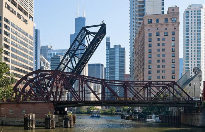
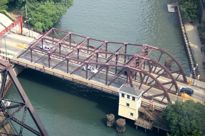
Once the city's most active bridge, it was also the site of a major mishap in 1992, when construction workers punctured a wall of an old underground freight rail system, flooding the entire downtown area.
en.wikipedia.org/wiki/Chicago_Flood
Site of the 2004 Dave Matthews Band bus dumping human waste into the tour boat incident.
en.wikipedia.org/wiki/Chicago_Flood
Site of the 2004 Dave Matthews Band bus dumping human waste into the tour boat incident.
Wikipedia article: http://en.wikipedia.org/wiki/Kinzie_Street_railroad_bridge
Nearby cities:
Coordinates: 41°53'20"N 87°38'21"W
- BRIDGEPORT Bridge and Interlocking 5.8 km
- CP-509 "Quad Draws" Bridges 20 km
- Chicago Skyway Bridge 21 km
- Bridge 22 km
- Bridge 24 km
- Bridge 24 km
- Des Plaines River Valley Bridge 40 km
- Interstate 80 Bridge 56 km
- Interstate 80 Bridge 56 km
- Unfinished Decatur and State Line Railroad bridge. 82 km
- River North 0.5 km
- Cabrini-Green 1.2 km
- Near North Side 1.5 km
- Chicago Loop 1.9 km
- Goose Island 2 km
- Goose Island Neighborhood 2 km
- Gold Coast 2.1 km
- Near West Side 2.6 km
- West Town 3 km
- North End of the CTA Red Line 6.1 km