Santa Maria
Brazil /
Goias /
Luziania /
World
/ Brazil
/ Goias
/ Luziania
World / Brazil / Distrito Federal / Brasília
city, draw only border


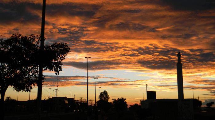

Santa Maria is an administrative region of the Federal District, Brazil. Is located 26km to the Brasília. In the Federal District, some administrative regions such as Santa Maria, also known as satellite-towns.
The city is surrounded by two streams, flooding and Santa Maria, giving the name of this city. The first blocks were employed as of February 1991.
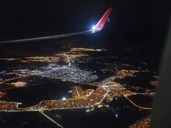
Occupying an area of 211 square kilometers, has a population of almost 100 thousand inhabitants, as census by IBGE in 2000. The anniversary is commemorated in the city on February 10.
Appeared officially on the map of the Federal District on February 10, 1993 with the publication of the decree nº 14604. The city is the result of a major program of distribution of land held by the government of the Federal District. Like other administrative regions of the remaining DF, Santa Maria in the early years, was given little urban infrastructure, which has been consolidated to a few. Today, the city has almost 100% of asphalt. Recently the city opened its first public hospital, the Regional Hospital of Santa Maria, which will be implemented in a few months.
Official page: www.santamaria.df.gov.br
The city is surrounded by two streams, flooding and Santa Maria, giving the name of this city. The first blocks were employed as of February 1991.
Occupying an area of 211 square kilometers, has a population of almost 100 thousand inhabitants, as census by IBGE in 2000. The anniversary is commemorated in the city on February 10.
Appeared officially on the map of the Federal District on February 10, 1993 with the publication of the decree nº 14604. The city is the result of a major program of distribution of land held by the government of the Federal District. Like other administrative regions of the remaining DF, Santa Maria in the early years, was given little urban infrastructure, which has been consolidated to a few. Today, the city has almost 100% of asphalt. Recently the city opened its first public hospital, the Regional Hospital of Santa Maria, which will be implemented in a few months.
Official page: www.santamaria.df.gov.br
Nearby cities:
Coordinates: 16°0'35"S 47°57'43"W
- Luziânia 48 km
- Unaí 59 km
- Federal District 67 km
- Corumbá de Goiás 106 km
- Cocalzinho de Goiás 120 km
- Pirenópolis 146 km
- Mimoso de Goiás 150 km
- Vila Boa 168 km
- Goianésia 188 km
- Itapuranga 247 km
- Corpo de Fuzileiros Navais - CIAB Centro de Instrução e Adestramento de Brasília 1.8 km
- AC 219 Conjunto C Lote 12 2.6 km
- Original Petrol Station 2.7 km
- Lagoa da Marinha - GELADEIRA 3.1 km
- Development Pole Juscelino Kubitschek (JK Pole) 3.2 km
- North Santa Maria (Northern Sector) 3.6 km
- Vila Naval Admiral Viscount Inhaúma (Vnavi) 3.8 km
- Porto Seco 3.8 km
- Santos Dumont Residential Condominium (Formerly Sítio do Gama) 4 km
Corpo de Fuzileiros Navais - CIAB Centro de Instrução e Adestramento de Brasília
AC 219 Conjunto C Lote 12
Original Petrol Station
Lagoa da Marinha - GELADEIRA
Development Pole Juscelino Kubitschek (JK Pole)
North Santa Maria (Northern Sector)
Vila Naval Admiral Viscount Inhaúma (Vnavi)
Porto Seco
Santos Dumont Residential Condominium (Formerly Sítio do Gama)