Itapuranga
Brazil /
Goias /
Itapuranga /
World
/ Brazil
/ Goias
/ Itapuranga
World / Brazil / Goiás / Itapuranga
city, municipality
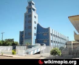
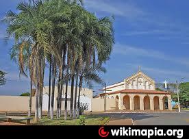
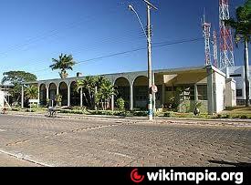
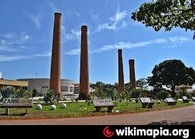
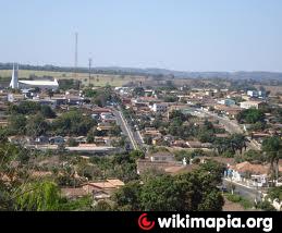
Itapuranga is a small town and municipality in northern Goiás state, Brazil. Itapuranga began in 1933 when Dominican monks from Goiás, acquired land from the government on the left bank of the Rio Canastra. The name of the settlement was "Xixá", taken from the Xixazeiro tree under which the first mass was celebrated. Joaquim Moreira da Silva opened the first general store and the town began to grow. Soon a public school was built and a road opened to the city of Goiás. In 1943 Xixá became a district of Goiás and the name was changed to Itapuranga, which means in the Tupi language "red rock" or "place of pretty rocks". In 1953 it was dismembered from Goiás to form a municipality.
Wikipedia article: http://en.wikipedia.org/wiki/Itapuranga
Nearby cities:
Coordinates: 15°34'10"S 49°55'49"W
- Itaberaí 27 km
- Pirenópolis 77 km
- Goianésia 89 km
- Cocalzinho de Goiás 118 km
- Pilar de Goiás 154 km
- Luziânia 174 km
- Santa Terezinha de Goiás 181 km
- Campinorte 229 km
- Unaí 266 km
- Novo Planalto 289 km
- Electrical substation 0.3 km
- Itapuranga Cemetery 0.9 km
- Diolândia 19 km
- Cemetery 20 km
- Cemetery 26 km