Eastrop Roundabout "Eastrop Circus" (Basingstoke)
United Kingdom /
England /
Basingstoke
World
/ United Kingdom
/ England
/ Basingstoke
World / United Kingdom / England
roundabout / traffic circle
Add category
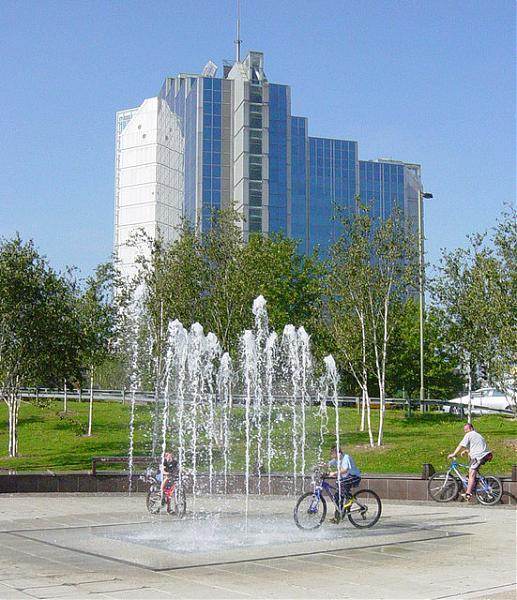
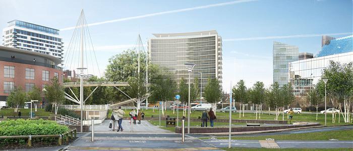
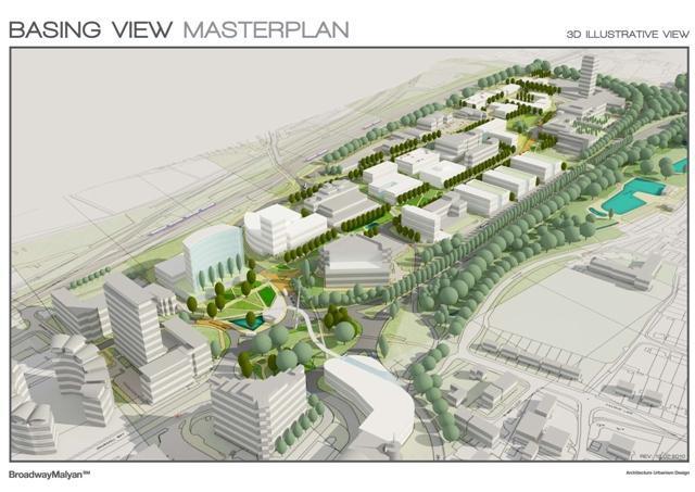
Eastrop Roundabout has been defined as an important central link between the town centre districts of Festival Place and Top of Town, Eastrop Park, Basing View business park and the Alençon Link area which includes the Railway station and the Malls. The transformed roundabout will be part of the masterplan to regenerate Basing View as a 21st century business park. The vacant land next to the roundabout directly north will become a new public piazza while to the south, Festival Place will be extended towards the roundabout and will possibly connect to Eastrop Circus and the new piazza via a new landmark bridge. An alternative idea is to build a landmark building on the roundabout, and connect it to the piazza and Festival Place via two smaller bridges. A new high-rise landmark building is planned on the northern side of piazza along with a new hotel on the entrance to basing view this will turn Eastrop Circus and the piazza into a downtown district.
Nearby cities:
Coordinates: 51°16'0"N 1°4'59"W
- Shepherd & Flock Roundabout 22 km
- The Peanut Roundabout 35 km
- Handy Cross Roundabout / Junction 4 44 km
- Windhover Roundabout 44 km
- Delme roundabout and flyover (A27 junction A32) 46 km
- Segensworth Roundabout 46 km
- A27 Titchfield Gyratory 47 km
- Pyebush Roundabout 49 km
- Beare Green Roundabout 54 km
- Rose Hill Roundabout 63 km
- Basingstoke Town Centre 0.2 km
- Houndmills 1.3 km
- King's Furlong 1.4 km
- Daneshill 1.7 km
- Basing Fen 1.9 km
- Popley 2 km
- North Popley Development Area 2.3 km
- Lychpit 2.3 km
- Carpenters Down Wood 3.1 km
- Chineham 3.3 km