Prime Meridian on World Geodetic System (London)
United Kingdom /
England /
Westham /
London
World
/ United Kingdom
/ England
/ Westham
World / United Kingdom / England
interesting place
Add category
0.00 Longitude, according to the Google Maps coordinates.
The old astronomical prime meridian has been replaced by a more modern prime meridian. When Greenwich was an active observatory, geographical coordinates were referred to a local oblate spheroid called a datum, whose surface closely matched local mean sea level, called the geoid. Several data were in use around the world, all using different spheroids, because mean sea level undulates by as much as 100 metres world-wide. Modern geodetic reference systems, such as the World Geodetic System and the International Terrestrial Reference Frame, use a single Earth-centered oblate spheroid. The shift from several spheroids to one world-wide spheroid caused all geographical coordinates to shift by many metres, sometimes as much as several hundred metres. The Prime Meridian of these modern reference systems is about 100 metres east of the Greenwich astronomical meridian represented by the brass strip at the Meridian House. [Source: Wikipedia's Royal_Observatory,_Greenwich article]
www.atlasobscura.com/places/the-real-greenwich-prime-me...
Wikipedia article: http://en.wikipedia.org/wiki/Royal_Observatory,_Greenwich
Nearby cities:
Coordinates: 51°28'39"N 0°0'0"E
- Tottenham Marshes 15 km
- Royal Botanic Gardens 22 km
- Syon Park Estate 22 km
- Site of Heston Aerodrome 28 km
- Polesden Lacey Estate 35 km
- Painshill Park 35 km
- Savay Lake 37 km
- Pinewood Studios 38 km
- Windlesham Arboretum 49 km
- Cliveden 49 km
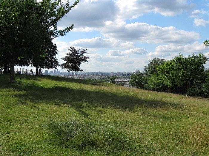
- Greenwich Park 0.1 km
- Blackheath 0.7 km
- University of Greenwich - Greenwich Campus 0.7 km
- Greenwich 1 km
- Blackheath 1 km
- Lewisham 1.9 km
- St. John's 2 km
- Deptford 2.2 km
- Belfore Inventories 3 km
- Royal Borough of Greenwich 3.6 km
Comments