Abbey Green (Nuneaton)
United Kingdom /
England /
Nuneaton
World
/ United Kingdom
/ England
/ Nuneaton
World / United Kingdom / England
residential area
Add category

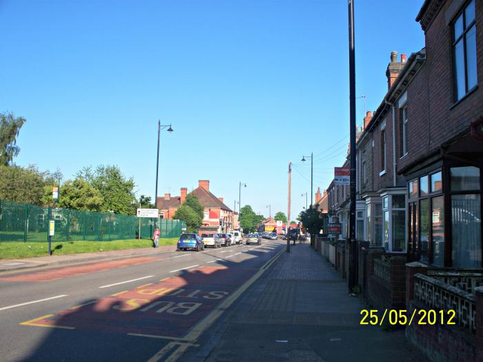
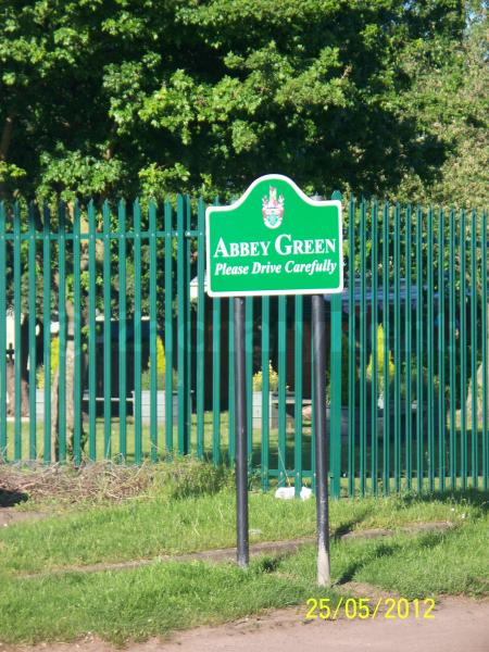
Abbey Green is a small area of Nuneaton located immediately to the north-west of the town centre. It is named after St Mary's Abbey Church on Manor Court Road.
Prior to the Beeching Axe of the 1960s, the area was home to Nuneaton Abbey Street station, one of four railway stations in the town of Nuneaton.
Prior to the Beeching Axe of the 1960s, the area was home to Nuneaton Abbey Street station, one of four railway stations in the town of Nuneaton.
Nearby cities:
Coordinates: 52°31'41"N 1°28'26"W
- Leicester Forest East 19 km
- Donnington 70 km
- Hadley 72 km
- Brampton 80 km
- Waverley 96 km
- Heald Green 108 km
- Atherton 133 km
- Daubhill 134 km
- St. Leonard's 401 km
- Calderwood 402 km
- Abbey 0.2 km
- Weddington (suburb) 1.1 km
- Canal Farm 1.2 km
- Judkins Quarry 1.2 km
- Bar Pool 1.4 km
- Weddington 1.7 km
- Camp Hill 1.8 km
- Stockingford 2.2 km
- Hartshill 3.2 km
- Warwickshire 25 km