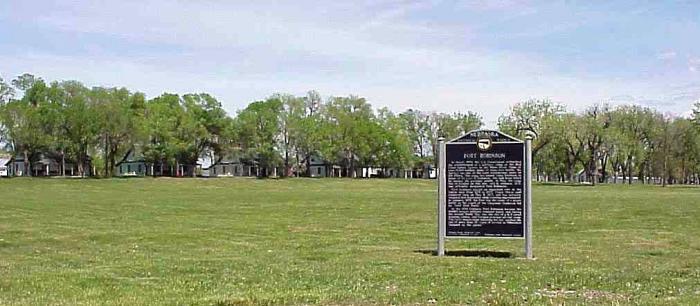
Fort Robinson State Park
USA /
Nebraska /
Crawford /
Highway 20, 3200
World
/ USA
/ Nebraska
/ Crawford
World / United States / Nebraska
state park
Add category

Wikipedia article: http://en.wikipedia.org/wiki/Fort_Robinson
Nearby cities:
Coordinates: 42°41'7"N 103°29'32"W
- Custer State Park 130 km
- Minnesota Valley State Park / Recreation Area 816 km
- Itasca State Park 821 km
- St. Croix State Park 928 km
- Tettegouche State Park 1090 km
- Woodland Caribou Provincial Park 1165 km
- Mount Spokane State Park 1219 km
- Riverside State Park 1240 km
- Redwood National and State Parks 1702 km
- Tantalus Provincial Park 1724 km
- Fort Robinson 2.7 km
- Crow Butte Mine 11 km
- Whitney Lake 19 km
- Ogala National Grassland 27 km
- Agate Fossil Beds National Monument 36 km
- Chadron Municipal Airport (CDR/KCDR) 37 km
- Box Butte Reservior and State Recreation Area 40 km
- Messersmith Ranch 75 km
- Alliance Municipal Airport (AIA/KAIA) 90 km
- Pine Ridge Indian Reservation 138 km