Geghard Monastery
Armenia /
Kotayk /
Goght /
World
/ Armenia
/ Kotayk
/ Goght
World / Armenia
interesting place, UNESCO World Heritage Site, natural monument, Armenian Apostolic church, cave church/monastery
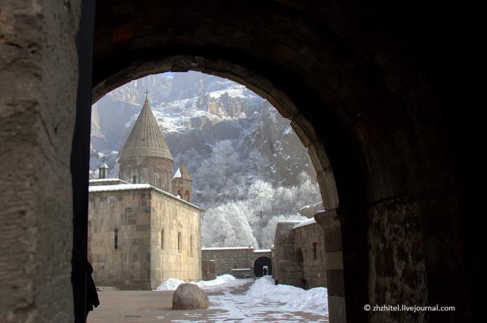
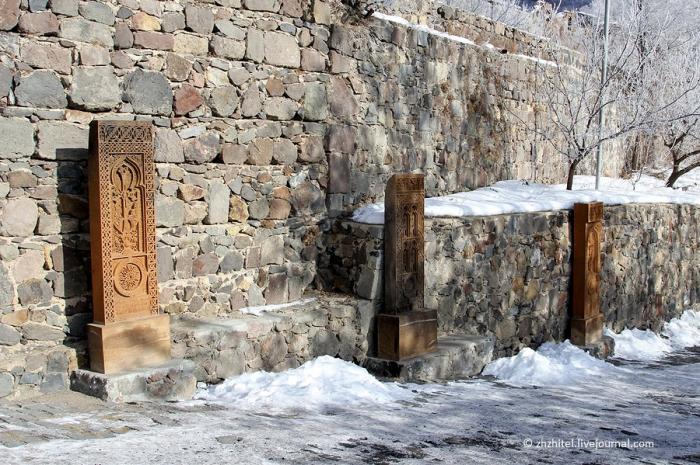
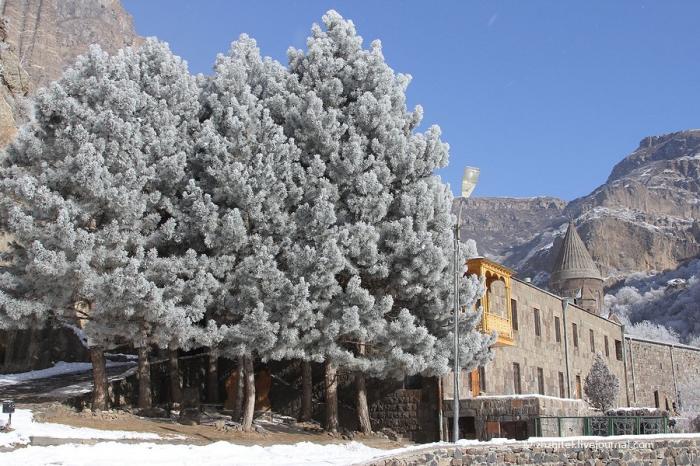
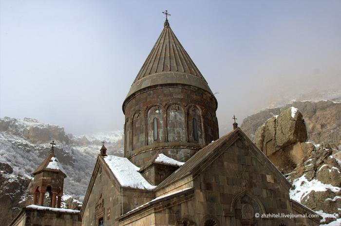
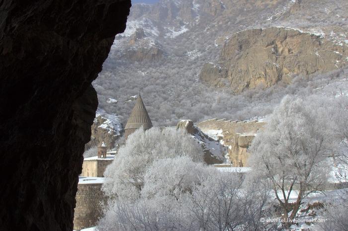
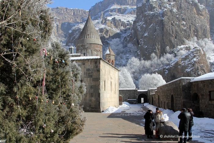
The monastery of Geghard (Armenian: Գեղարդ, meaning spear) is a unique architectural construction in the Kotayk province of Armenia, being partially carved out of the adjacent mountain, surrounded by cliffs. It is listed as a UNESCO World Heritage Site.
While the main chapel was built in 1215, the monastery complex was founded in the 4th century by Gregory the Illuminator at the site of a sacred spring inside a cave. The monastery had thus been originally named Ayrivank, meaning "the Monastery of the Cave". The name commonly used for the monastery today, Geghard, or more fully Geghardavank (Գեղարդավանք), meaning "the Monastery of the Spear", originates from the spear which had wounded Jesus at the Crucifixion, allegedly brought to Armenia by Apostle Jude, called here Thaddeus, and stored amongst many other relics. Now it is displayed in the Echmiadzin treasury.
www.youtube.com/watch?v=NETCYG8O55I
Wikipedia article: http://en.wikipedia.org/wiki/Geghard
Nearby cities:
Coordinates: 40°8'24"N 44°49'6"E
- Lchashen 45 km
- Turkey's most eastern point 54 km
- Dzoghkert / Menuakhinili 55 km
- Old Bagaran 101 km
- Ruins of Ani 114 km
- summer houses 179 km
- Bagramoghli villas (ruins) 180 km
- Adır (Lim) Island 190 km
- Karaurgan Nahiyesi 222 km
- Bulanik (Kop) 249 km
- Pogmagangyol lake 7.7 km
- Khosrov Forest State Reserve 12 km
- Gegham mountains 18 km
- Artashat district of Ararat province 19 km
- Vedi reservoir 21 km
- Vedi district of Ararat province 22 km
- Ararat province 25 km
- Gyaurgalası mt. 25 km
- Martuni district 40 km
- Ararat valley 52 km