AN/FPS-6
USA /
California /
Rancho Cordova /
World
/ USA
/ California
/ Rancho Cordova
World / United States / California
historic ruins
Add category
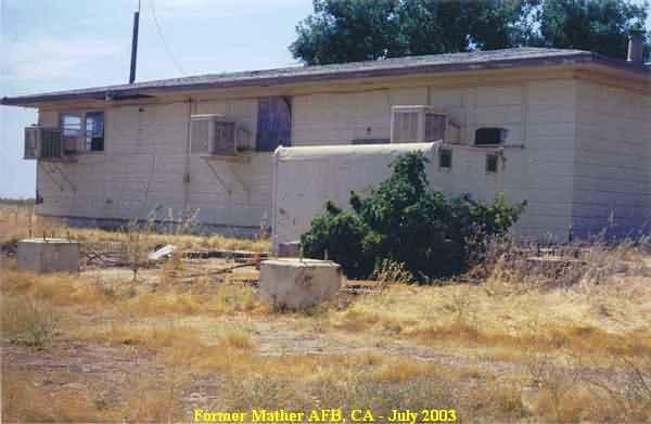
Site of the FPS-6 height-finder radar tower at Mather. Only the footings remain.
Nearby cities:
Coordinates: 38°33'10"N 121°16'4"W
- TXI - Pacific Custom Materials, Inc. 98 km
- Former Naval Auxiliary Air Station, Vernalis 105 km
- Oak Knoll Naval Hospital 116 km
- Berkeley Pier Ruins 123 km
- Mt Tamalpais West Peak/Mill Valley Air Force Station 136 km
- Boca, California 137 km
- Farrington Ranch 200 km
- Aurora, Nevada 208 km
- Airport Sandflat 215 km
- Old Camp Independence (site) 329 km
- Former 668th AC&W Squadron Radar Site, Mather AFB 0.2 km
- Alert Pad 0.9 km
- Mather Golf Course 1 km
- Insurance Auto Auctions 1.6 km
- Emergency Response Training Center 2 km
- Sacramento Mather Airport (MHR/KMHR) 2.1 km
- Runway 4R/22L 2.6 km
- Capital Village 3.6 km
- Mobile Country Club 6.8 km
- Aerojet/Air Force Plant 70 7.7 km