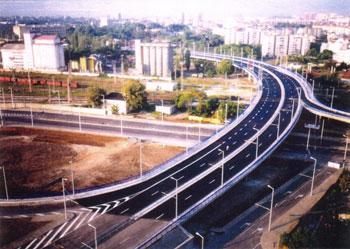
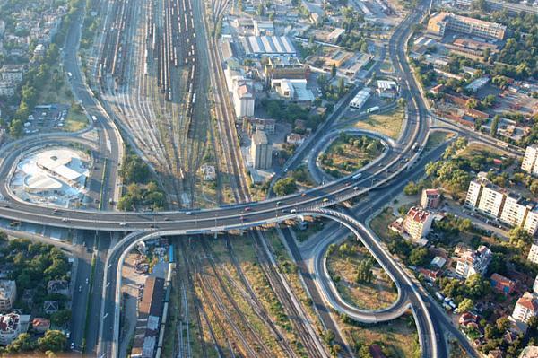
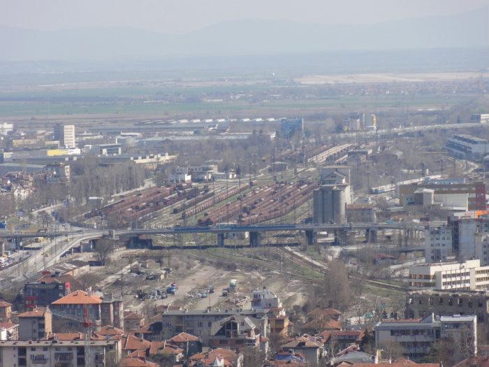
Rodopi cloverleaf crossing (Plovdiv)
Bulgaria /
Plovdiv /
Plovdiv
World
/ Bulgaria
/ Plovdiv
/ Plovdiv
, 2 km from center (Пловдив)
World / Bulgaria / Plovdiv
invisible, highway interchange / exit
Nearby cities:
Coordinates: 42°7'54"N 24°45'20"E
- The Land of Katunitsa village 8.6 km
- The Land of Cheshnegirovo village 12 km
- The land of Belozem 22 km
- The land of Sekirovo quarter 24 km
- The Land of General Nikolaevo 28 km
- The Land of Mirovo village 29 km
- The Land Of Granit Village 31 km
- The Land of Debar quarter 32 km
- The Land of Parvomay Quarter 34 km
- The Land of Gradina village 34 km
- Business Center Rilon 0.4 km
- Promenada Mall (U/C) 0.4 km
- Military hospital 0.6 km
- St. Peterburg Bld., bl. 21 0.6 km
- Military Barracks 0.6 km
- Dusho Hadzhidekov Primary School 0.7 km
- Bogomil St., 3 0.7 km
- Kamenitsa 1 1.1 km
- Plovdiv Municipality 1.6 km
- Rodopi Municipality 11 km