Mount Diablo
USA /
California /
Diablo /
World
/ USA
/ California
/ Diablo
World / United States / California
mountain, National Natural Landmark
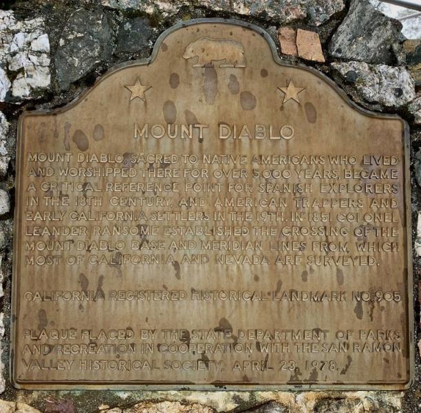
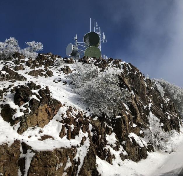
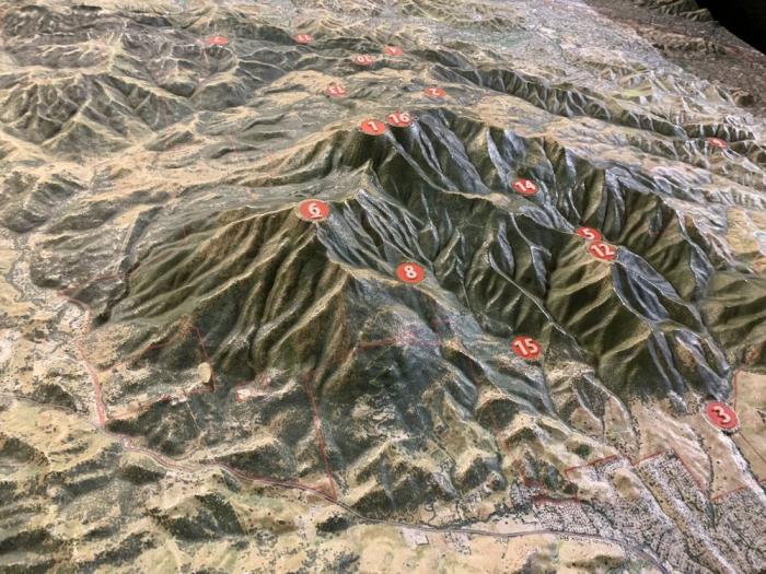
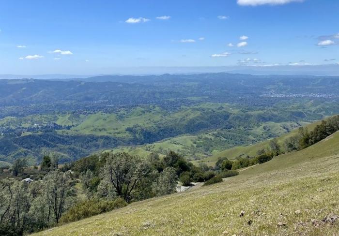
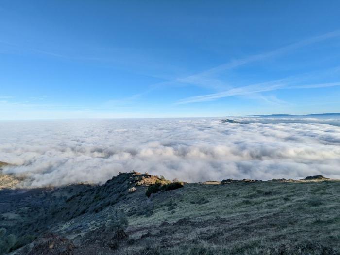
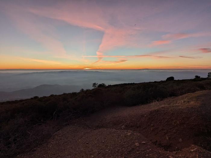
Mount Diablo (not a volcano, despite the name and appearance) is in Contra Costa County and is notable for having one of the most extensive views in the world. On a very clear day you can see both the Farallon Islands and the Sierra Nevada. The reasons the view is so good are the lack of other mountains in the area and the fact that the central valley slopes up as it nears the Sierra Nevada, preventing it from disappearing below the horizon. The mountain is within the boundaries of Mount Diablo State Park, which is administered by California State Parks.
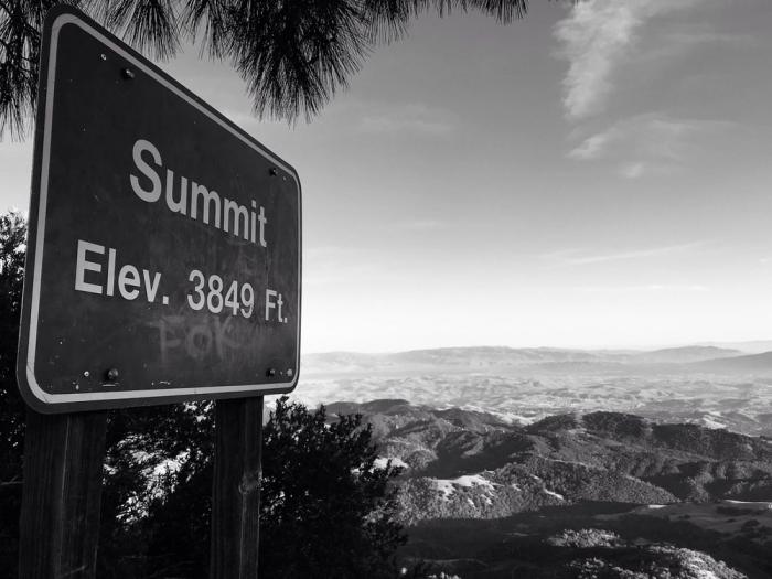
Elevation: 3,864 ft (1,178 m)
Prominence: 3,109 ft (948 m)
www.mdia.org/history-of-mount-diablo
peakbagger.com/peak.aspx?pid=1211
Elevation: 3,864 ft (1,178 m)
Prominence: 3,109 ft (948 m)
www.mdia.org/history-of-mount-diablo
peakbagger.com/peak.aspx?pid=1211
Wikipedia article: http://en.wikipedia.org/wiki/Mount_Diablo
Nearby cities:
Coordinates: 37°52'58"N 121°55'9"W
- Mount Diablo State Park 8.2 km
- Los Medanos Hills/Pittsburg Hills 20 km
- Twin Peaks 50 km
- San Bruno Mountain State and County Park 51 km
- Mount Oso 59 km
- Mount Tamalpais State Park 63 km
- Mount Veeder 74 km
- Mount Madonna County Park 97 km
- Wilder Ranch State Park 99 km
- Mount St. Helena 109 km
- Mount Diablo State Park 1.3 km
- Curry Canyon Ranch 4.6 km
- Zion Peak Rock Quarry 5.6 km
- Lime Ridge Open Space 8.1 km
- Los Medanos Hills/Pittsburg Hills 8.5 km
- Alamo, California 9 km
- Black Diamond Mines Regional Preserve 10 km
- Concord Naval Weapons Station 13 km
- Ygnacio Valley 14 km
- Western Delta 32 km
Comments