Carrier Mills, Illinois
USA /
Illinois /
Carrier Mills /
World
/ USA
/ Illinois
/ Carrier Mills
World / United States / Illinois
city, downtown / central business district, town, demolished

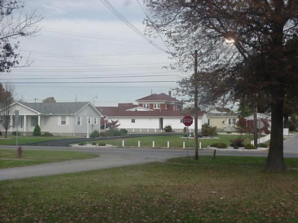
Home of the Catskin Days and The Wildcats, Carrier Mills is located seven miles southwest of Harrisburg, Illinois, where most of the town's citizens do their business and shopping. It was platted in November 1872 for William Housely as Morrillsville, named after Mr Morrill the railroad superintendent who sealed a real-estate deal with Mill owner G. W. Carrier. It was commonly known and eventually renamed Carrier Mills after inventor G. Washington Carrier ("Uncle Wash") who helped found the town when he built his elaborate saw mill just to the south of town, near the old Tuller Mansion farming and property site. The mills were used for the making of lumber to construct the business and homes in the town. Carrier and Morrill closed a real-estate deal to build a train depot there. The town was platted adjacent and north of the newly completed Cairo-Vincennes railroad. In 1873 the first postmaster was appointed to Carrier's Mill (the name the railroad had assigned to the new stop). The Village was incorporated in 1894, and with the advent of the railroad and coal mines, the tiny village amidst timber and farms grew quickly. Today in legal documents its name remains Morrillsville. Carrier Mills did not own a single brick building and the sidewalks were of boards. The business district was mainly from the First National Bank west to the Texaco Gas Station, and all of frame construction. A disastrous fire hit in February of 1908 and burned everything on the north side of the street. In the next month, March 1908, fire burned everything on the south side of the street, from Main to Mill, except the Old Woolcoat Mill Exchange. The business men began immediately to rebuild, all of brick construction.
Coal mining also had a great influence on Carrier Mills. Some dozen coal mines privately and publicly owned ran around the town. During the towns heyday some 2,500 people bustled around the busy streets. After the coal mines closed around the state the population dwindled down to nearly 1500 according to the 2000 census. The entire county has suffered dearly from the closing of the coal mines, making Carrier Mills a near ghost town. Most of the towns downtown has been completely demolished
Coal mining also had a great influence on Carrier Mills. Some dozen coal mines privately and publicly owned ran around the town. During the towns heyday some 2,500 people bustled around the busy streets. After the coal mines closed around the state the population dwindled down to nearly 1500 according to the 2000 census. The entire county has suffered dearly from the closing of the coal mines, making Carrier Mills a near ghost town. Most of the towns downtown has been completely demolished
Wikipedia article: http://en.wikipedia.org/wiki/Carrier_Mills,_Illinois
Nearby cities:
Coordinates: 37°41'21"N 88°37'38"W
- Carbondale 57 km
- Paducah, Kentucky 66 km
- Calvert City, Kentucky 72 km
- Henderson, KY 91 km
- Cape Girardeau, Missouri 93 km
- Evansville, Indiana 96 km
- Madisonville, Kentucky 101 km
- Centralia, Illinois 107 km
- Hopkinsville, Kentucky 130 km
- Edwardsville, Illinois 180 km
- Sahara Lake State Recreational Park 4 km
- Scarlett Lake Subdivision 4.7 km
- Coal Mine 6.2 km
- Saline County, Illinois 10 km
- Bay Creek Lake 23 km
- Lake of Egypt 27 km
- Glendale, Illinois 27 km
- Dutchman Lake 34 km
- Deer Pond State Natural Area 39 km
- Pope County, Illinois 40 km