Chornyi Forest
Ukraine /
Kirovohradska /
Znamyanka Druha /
World
/ Ukraine
/ Kirovohradska
/ Znamyanka Druha
, 7 km from center (Знамьянка Друга)
World / Ukraine / Kirovohrad
forest, green area, do not draw title
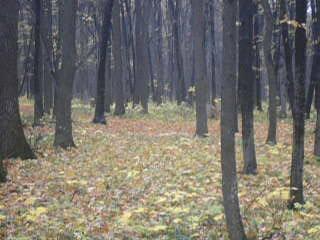
'Black' Forest.
Wikipedia article: http://uk.wikipedia.org/wiki/Чорний_Ліс
Nearby cities:
Coordinates: 48°46'10"N 32°34'12"E
- Chuta Forest 22 km
- Great Forest 27 km
- Nerubaiskyi Forest 37 km
- Forest 41 km
- Forest 123 km
- Letiuchi Pisky Forest 165 km
- Dobra Krynytsia Grove 167 km
- Forest 172 km
- Kovalivskyi Forest 174 km
- Novoodeskyi Forest 177 km
- Znamianka Raion 1.3 km
- Chorne ozero (Black Lake) 2 km
- Dmytrivka rural municipality 8.5 km
- Oleksandrivka Raion 26 km