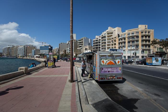
Sliema Ferries
Malta /
Inner Harbour /
Floriana /
World
/ Malta
/ Inner Harbour
/ Floriana
World
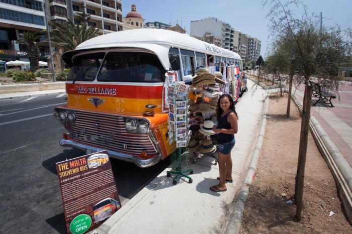
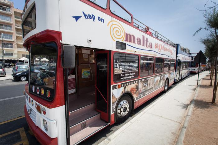
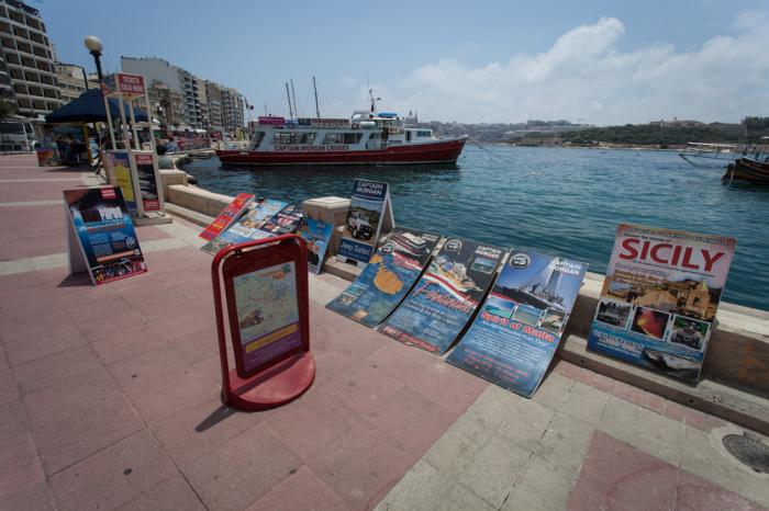
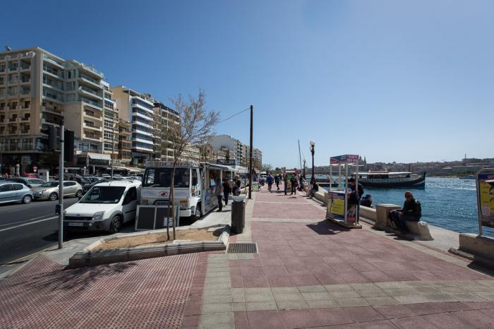
Bus Stop, Boat pier and ferry service to Valletta.
Nearby cities:
Coordinates: 35°54'30"N 14°30'18"E
- Swatar 3.4 km
- Santa Venera 3.5 km
- Xghajra 3.6 km
- Tarxien 3.9 km
- Bulebel Industrial Estate 4.6 km
- Madliena 5 km
- Ħal Farruġ 6 km
- Lija 6.4 km
- San Pawl tat-Targa 6.5 km
- Burmarrad 10 km
- Manoel Island 0.6 km
- Marsamxett Harbour 0.9 km
- Grand Harbour 2.2 km
- Calcara Creek 2.6 km
- Dockyard Creek 2.6 km
- French Creek 2.8 km
- The Three Cities/Cottonera 2.8 km
- Malta Shipyards Ltd. 2.9 km
- Malta 5.2 km
- Malta Channel 48 km