The Stoa
Albania /
Mallakaster /
Ballsh /
World
/ Albania
/ Mallakaster
/ Ballsh
ruins, stoa
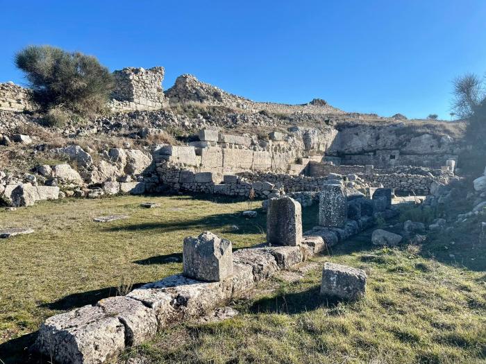
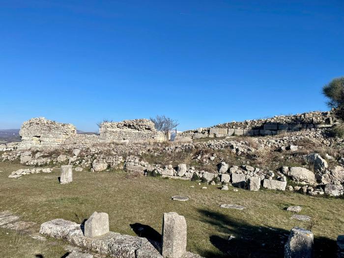
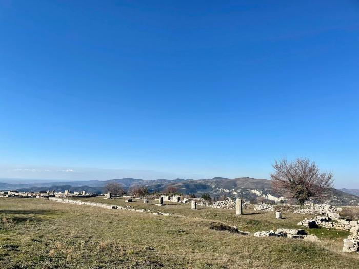
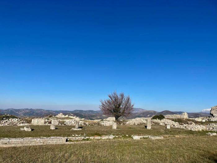
The stoa is built during the second quarter of the third century BC and enclosed the agora to the north and east, protecting the area from the strong winds. For this reason the stoa forms a large "L" shape, having a general length of 144 m. The stoa evidently had two storeys; a lower Doric colonnade with octagonal columns, and an upper colonnade of the Ionic order. The stoa was used as a place for mass gatherings and as a promenade for the free citizens of Byllis. It was demolished or destroyed in the third century AD, and a small shrine probably dedicated to Aesculapius seems to have been built over its eastern end.
Jan 2022: i.imgur.com/3IdFmiI.jpeg
Jan 2022: i.imgur.com/3IdFmiI.jpeg
Nearby cities:
Coordinates: 40°32'27"N 19°44'19"E
- Amantia 17 km
- Antigonea 64 km
- Archaeological Site of Hadrianopolis 72 km
- Ancient city of Phoenice 74 km
- Ancient Aiane 182 km
- Αncient Nicopolis 189 km
- Ancient Palairos 211 km
- Atrax Acropolis 235 km
- Fàrsala Ancient Field 264 km
- The ancient citadel (Acropolis) in the position of Island of Lake Xynias in the limits of the Village Koromilia 273 km
- Nikaia 2.2 km
- Ballaj 2.9 km
- Mallakastër District 4.8 km
- Reservoir Lake 10 km
- Bregas Lake 10 km
- Lake 12 km
- Berat District 23 km
- Vlorë District 24 km
- Fier District 25 km
- Tepelenë District 31 km