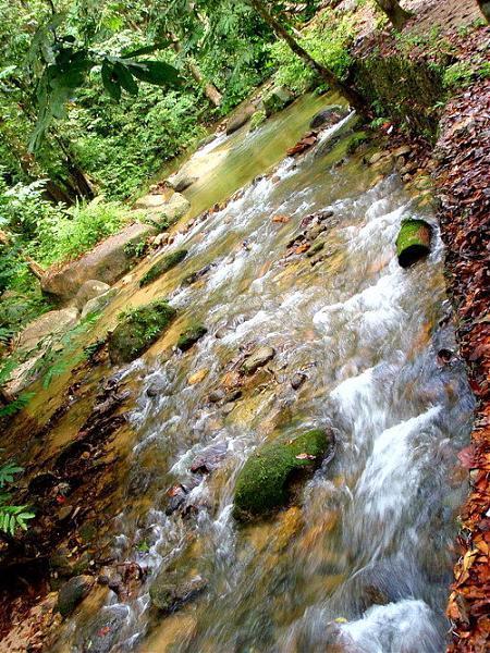
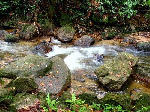
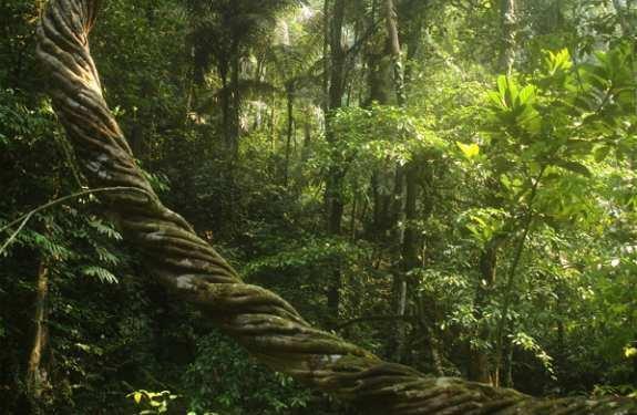
Taman Rimba Ampang
Malaysia /
Selangor /
Ampang Jaya /
Jalan Bukit Belacan
World
/ Malaysia
/ Selangor
/ Ampang Jaya
World / Malaysia / Selangor
park, interesting place
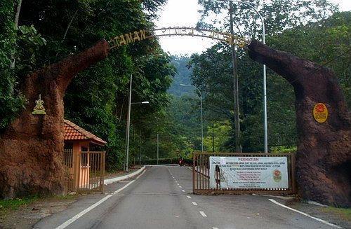


Taman Rimba Ampang (@ Ampang Park)
It’s located at the end of Jalan Ampang. In fact, if you drive until the end of Jalan Ampang, you will discover the road name change to Jalan Bukit Belacan. As long as the road is connected, drive until you see the entrance. The road is paved, but public vehicle is not allow to enter. This is to keep the air fresh from carbon monoxide.
It’s located at the end of Jalan Ampang. In fact, if you drive until the end of Jalan Ampang, you will discover the road name change to Jalan Bukit Belacan. As long as the road is connected, drive until you see the entrance. The road is paved, but public vehicle is not allow to enter. This is to keep the air fresh from carbon monoxide.
Nearby cities:
Coordinates: 3°9'13"N 101°47'41"E
- Forest Research Institute Malaysia Ministry of Natural Resources and Environment 24 km
- Putrajaya 24 km
- (Terusan Bagan) River which must use or cross over to Pulau Ketam & Sg.Lima Village 59 km
- Wild Bird Sanctuary Park, Kemahang 98 km
- Felda Chini 129 km
- Banjaran Gunung Tiga Beradik 145 km
- Gua Cha 205 km
- Kuala Koh National Park 205 km
- Batu Serating 271 km
- kampung padang machang 276 km
- Ampang Forest Reserve 2.1 km
- Taman Bukit Indah 2.2 km
- Taman Kosas 2.5 km
- Kampung Tasek Permai 3.6 km
- Ledco Land 4.5 km
- Bukit Sungai Putih Forest Reserve 5 km
- cheras 43200 11 km
- Hulu Langat District 11 km
- Gombak District 23 km
- Selangor 46 km