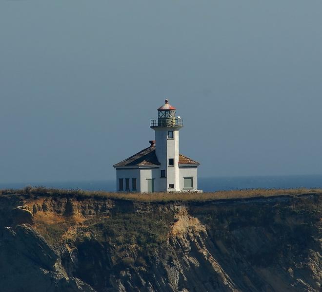
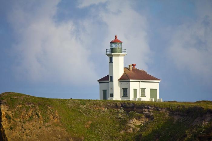
Cape Arago Lighthouse
| building
USA /
Oregon /
Coos Bay /
World
/ USA
/ Oregon
/ Coos Bay
building, lighthouse


Nearby cities:
Coordinates: 43°20'28"N 124°22'31"W
- Heceta Head Lighthouse, Devils Elbow State Park 91 km
- Merry Island 683 km
- Santa Cruz (Gull Island) Aid to Navigation 1117 km
- Lantern Point 1267 km
- Lake Minatare State Recreation Area and Historic Lake Minatare Lighthouse 1710 km
- Beacon Hill 1854 km
- Playa de la Isla de la Piedra 2785 km
- Smoky Point Lighthouse 2801 km
- USCG Molokai Light 3892 km
- USCG La’au Point 3925 km
- Sunset Bay State Park 1.2 km
- Shore Acres State Park 2.6 km
- Coos Bay 11 km
- Bunker Hill, Oregon 13 km
- Bandon Dunes Golf Resort 16 km
- Bullards Beach State Park 21 km
- Hauser, Oregon 22 km
- Tenmile Lake 31 km
- Bandon Dunes State Park 33 km
- North Tenmile Lake 34 km