Pedestrian bridge (Greater Tijuana)
Mexico /
Baja California /
Tijuana /
Greater Tijuana
World
/ Mexico
/ Baja California
/ Tijuana
World / United States / California
bridge
Add category
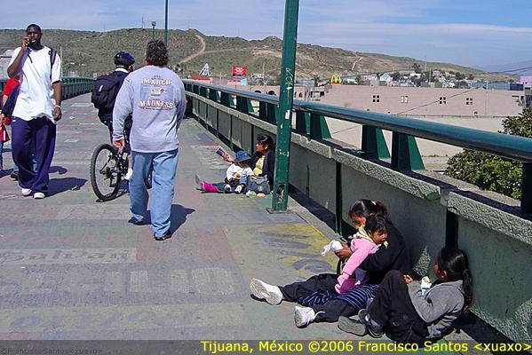
best way walk to central zone from border
Nearby cities:
Coordinates: 32°32'19"N 117°1'57"W
- Pedestrian border access footbridge 0.7 km
- bridge 13 km
- bridge 14 km
- San Diego - Coronado Bridge 22 km
- bridge 37 km
- bridge 37 km
- bridge 42 km
- Cara Knott Memorial Bridge 45 km
- bridge 53 km
- Chelsea King Memorial Bridge 58 km
- San Ysidro Port of Entry Border Crossing (Garita de San Ysidro) 0.5 km
- Las Americas Premium Outlets 1 km
- Tijuana Downtown 1.3 km
- River Zone 1.7 km
- San Ysidro 2.4 km
- Tijuana River 2.5 km
- Waste Water treatment Plant 3 km
- Tijuana River Valley Regional Park 4.9 km
- Otay Mesa 6.7 km
- Tijuana River 7.4 km
Comments