AT&T Dalhart L3 Station
USA /
Texas /
Dalhart /
U.S. Highway 385, 13613
World
/ USA
/ Texas
/ Dalhart
military, abandoned / shut down, Cold War 1947-1991, telecommunication, microwave tower / microwave transmission, underground station, underground facility, landline telephone service provider
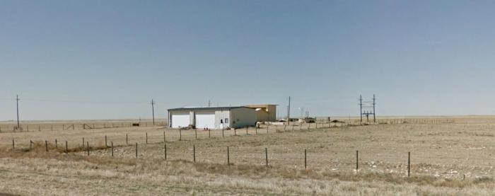
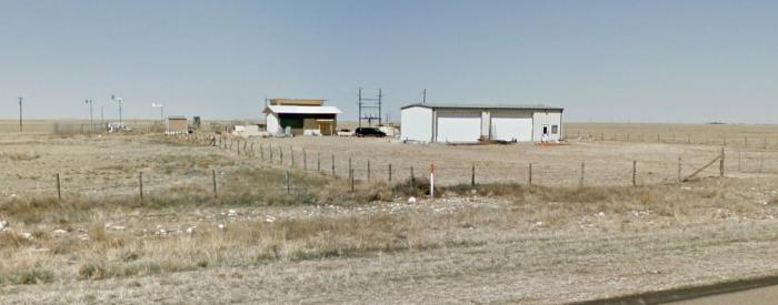
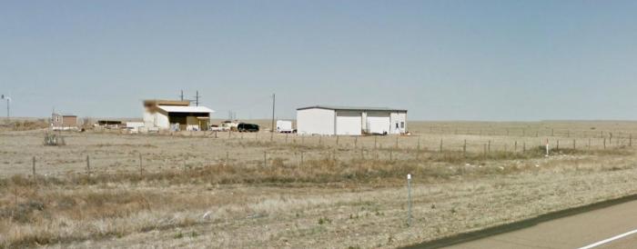
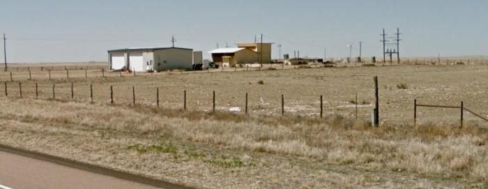
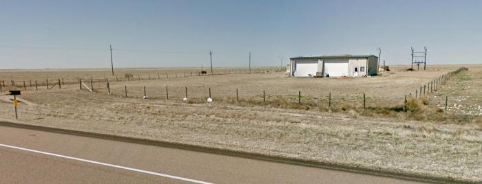
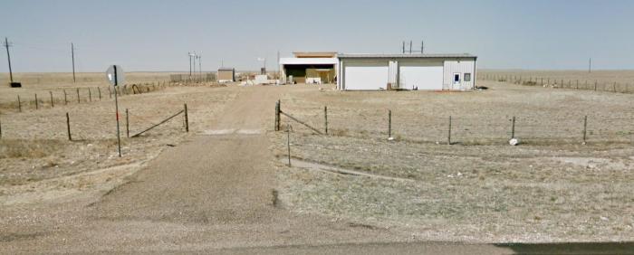
AT&T Transcontinental Coaxial L3 Station
Underground Cold War Facility
Long Lines Network
Underground Cold War Facility
Long Lines Network
Nearby cities:
Coordinates: 36°16'5"N 102°32'19"W
- Pantex Plant 131 km
- Melrose Air Force Range 246 km
- Kirtland Air Force Base (ABQ/KABQ) 392 km
- White Sands Missile Range 470 km
- Holloman Air Force Base 487 km
- Rocket Sled Track - Holloman Air Base 490 km
- NASA White Sands Space Harbor 513 km
- White Sands Test Facility (WSTF) 560 km
- Camp MacGregor 574 km
- McGregor Range Complex 575 km
- Dallam County, Texas 5.8 km
- Feedlot 22 km
- Dalhart Country Club 25 km
- Lake Rita Blanca 26 km
- Lake Rita Blanca State Park 26 km
- Conlen, Texas 27 km
- Feedlot 29 km
- Feedlot 44 km
- Airfield 47 km
- Cimarron County, Oklahoma 54 km