Tower
United Kingdom /
England /
Royal Tunbridge Wells /
World
/ United Kingdom
/ England
/ Royal Tunbridge Wells
tower, historic ruins
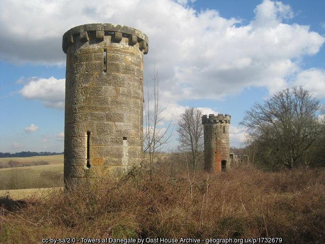
Appears to be the remains of a game keeper's cottage: maps.nls.uk/geo/explore/side-by-side/#zoom=19&lat=51.08...
Photo: www.geograph.org.uk/photo/1732679
Photo: www.geograph.org.uk/photo/1732679
Nearby cities:
Coordinates: 51°4'48"N 0°14'11"E
- Red Sand Towers 69 km
- Shivering Sand Towers 75 km
- BEMILCOM Site Munte 245 km
- BEMILCOM Site ? 280 km
- Babylon Complex 304 km
- Faculty of Electrical Engineering, Mathematics and Computer Science 304 km
- Telefooncentrale 305 km
- World's Largest Christmas Tree / Gerbrandy Tower 349 km
- Televisietoren (television tower) 364 km
- BEMILCOM Site Lantin 374 km
- Eridge Park 2.1 km
- Boars Head Golf Centre 3.5 km
- Moat Farm Estate 4.1 km
- High Rocks Fort 4.7 km
- Camden Park 5.9 km
- Dunorlan Park 6.6 km
- High Brooms 8.1 km
- Pembury Hospital 9 km
- Site of Swaylands School 10 km
- Tudeley Woods RSPB Reserve and Woodlands 11 km