Chortiatis
Greece /
Thessaloniki /
Khortiatis /
World
/ Greece
/ Thessaloniki
/ Khortiatis
, 1 km from center (Χορτιάτης)
World / Greece / Kentriki Makedonia
town, massacre

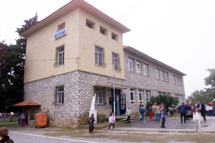
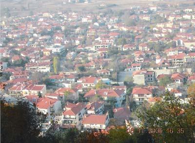
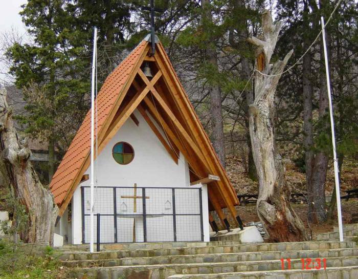
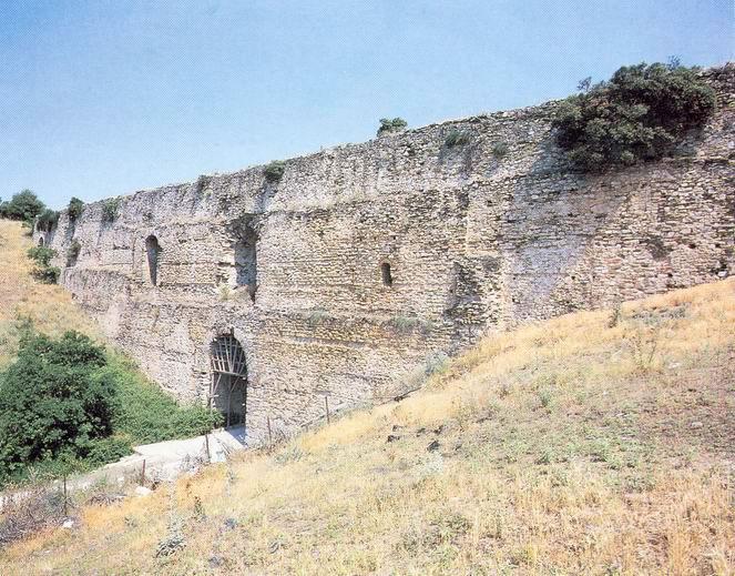
Chortiatis (Greek: Χορτιάτης) is a suburb and a former municipality in the Thessaloniki regional unit, Greece.Chortiatis was the site of a massacre perpetrated at the end of the occupation of Greece by the Axis powers on 2 September 1944.
Wikipedia article: http://en.wikipedia.org/wiki/Chortiatis
Nearby cities:
Coordinates: 40°36'31"N 23°6'5"E
- Elefthèrio 112 km
- Distomo 245 km
- Kommeno 248 km
- Perivolia 575 km
- Alikianos 577 km
- Kandanos 590 km
- Amiras 653 km
- Yezidi mass grave (KhanaSor1,68p) 1675 km
- Location of the 5 Hardan Yezidi mass graves (>65p) 1713 km
- Khanasor Expedition 1849 km
- Illegal housing 1.4 km
- Thessaloniki Antenna Park 1.4 km
- Illegal housing - no authorization no taxing 1.6 km
- illegal housing - where is the authorities 1.9 km
- Pylaia - Chortiàtis Municipality 3.2 km
- ZEP Kissos 3.4 km
- Municipality of Panorama 5.5 km
- Mount Hortiatis 7.4 km
- Municipality of Thermi 15 km
- Langadas Municipality 17 km