Saracik
Azerbaijan /
Cebrayil /
Daskesen /
World
/ Azerbaijan
/ Cebrayil
/ Daskesen
ghost town
Add category
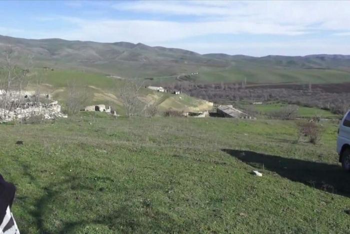
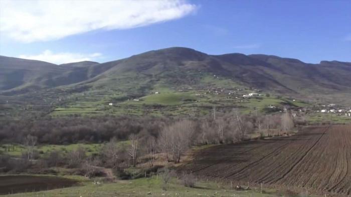

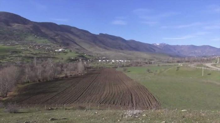
Location is correct. Village have road on the left side of Garakollu, and village placed upper then village Garakollu, on mountain.
This 2 villages have no borders between each others.
Saraciq was occupated by Armenian Armed forces in 1993.
Village was fully destroyed by armenian vandals.
Village was liberated from Armenian occupation by the Azerbaijani Armed Forces on 14 October 2020.
Saraciq Village get his name by Turkish word "Sarayciq", which means "Little Castle". First mention of Saraciq gets to "Osmanli Derqahi" 1593 year.
Wikipedia article: https://az.wikipedia.org/wiki/Saracıq
Nearby cities:
Coordinates: 39°28'56"N 47°6'46"E
- Horadiz 9 km
- Jabrayil (ruined) 11 km
- Boyuk Marcanli 15 km
- Şükürbəyli 17 km
- Ruins of Karakhanbeyli 18 km
- Amirvarli 20 km
- Tumas 34 km
- Aygehovit 41 km
- Saray 46 km
- Abdal 48 km
- Ruins of Graveyard 2.4 km
- Pirakhmadli 4.3 km
- Javahirname mountain range 4.9 km
- Ruins of cemetery 12 km
- Azerbaijani Positions near Lala Ilahi Tapa 16 km
- Jabrayil district 20 km
- Hadrut District 21 km
- Khojavend District 22 km
- Fuzuli district 23 km
- Dividing line 95 km