Navajo Bridge
USA /
Arizona /
Page /
World
/ USA
/ Arizona
/ Page
World / United States / Arizona
road bridge
Add category
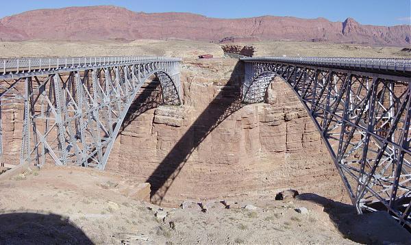
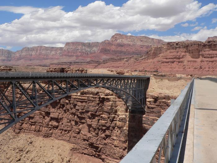
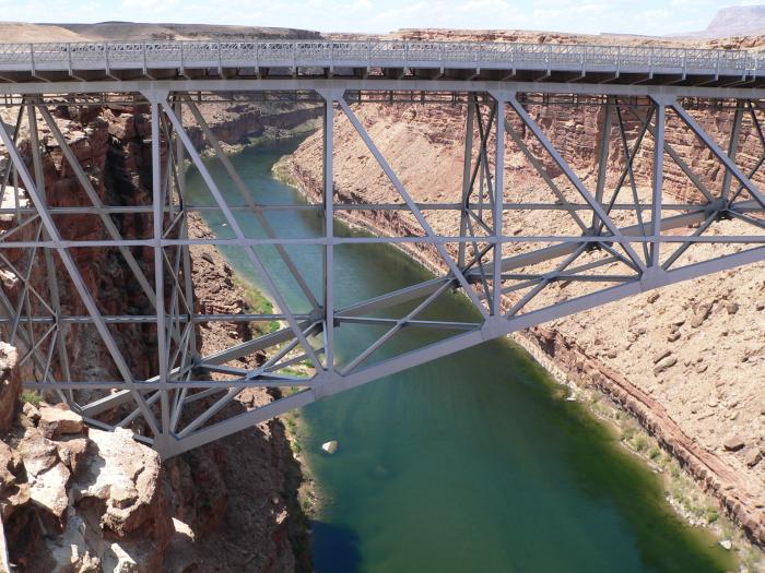
The upriver span (northeast) is a pedestrian bridge. Great views.
Wikipedia article: http://en.wikipedia.org/wiki/Navajo_Bridge
Nearby cities:
Coordinates: 36°49'2"N 111°37'54"W
- Glen Canyon Bridge 19 km
- Loop 303 Bridge at New River 342 km
- Loop 303 Bridge at Agua Fria River 344 km
- Redlands Blvd Bridge 365 km
- 1931 Mill Avenue Bridge 378 km
- Liberty Bridge 393 km
- Lake Fork Bridge 422 km
- Guadalupe Overpass 489 km
- Royal Gorge Bridge 585 km
- Huerfano Bridge 669 km
- Lee's Ferry 6 km
- Waterholes Canyon 10 km
- Soap Creek Tank Area 12 km
- Horseshoe Bend of Colorado River 12 km
- Joe's Ranch 14 km
- Vermilion Cliffs 18 km
- US Route 89 Landslide (Repairs Completed) 18 km
- LeChee, Arizona 19 km
- The Grand Canyon (north-east section) 30 km
- Grand Canyon National Park 119 km