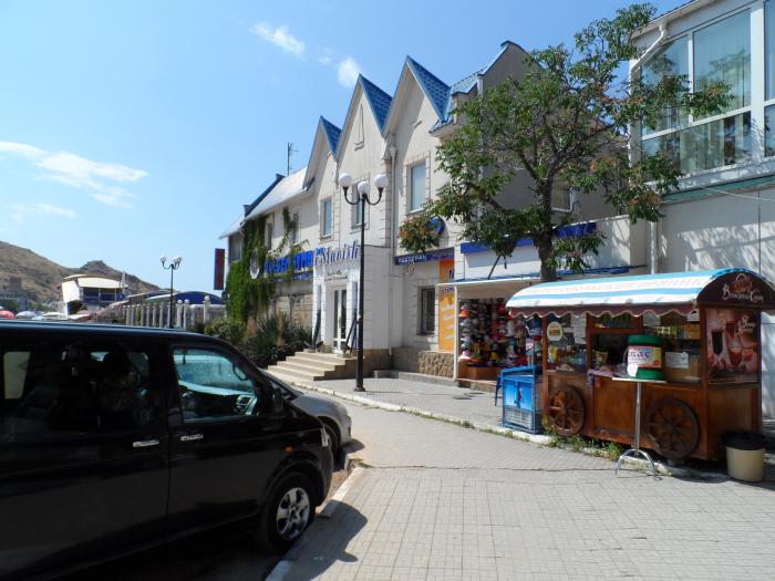
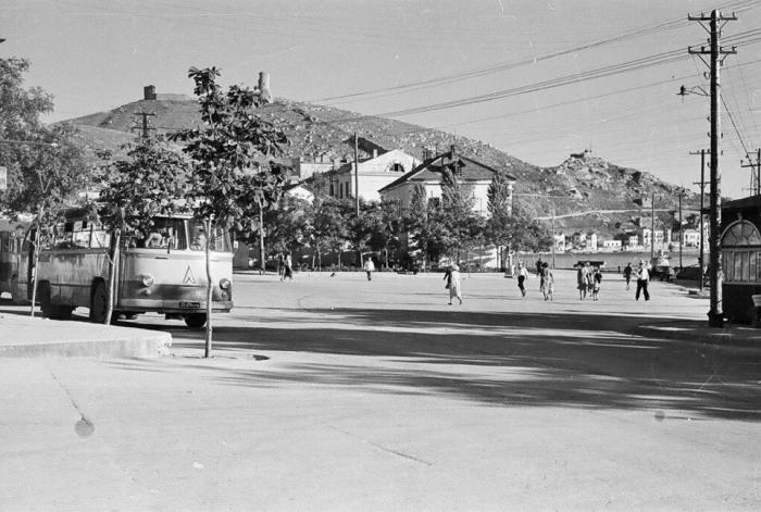
Ploshad Pervogo Maya (Sevastopol)
Ukraine /
Sevastopol /
Sevastopol
World
/ Ukraine
/ Sevastopol
/ Sevastopol
, 12 km from center (Севастополь)
invisible, historic town square
Nearby cities:
Coordinates: 44°30'5"N 33°35'59"E
- Ploshcha Komunariv 302 km
- Kulykove Pole 313 km
- Hippodrome of Constantinople 542 km
- Karl Marx Square 566 km
- Old Boulevard 740 km
- The Square of Tolerance 852 km
- Lenin Square 899 km
- Manezhnaya Square 1285 km
- Revolution Square 1285 km
- Red Square 1285 km
- ulitsa Andreya Kalicha / vulytsia Andriia Kalicha, 21 0.1 km
- Dive-center "AKVAMARIN" 0.1 km
- vulytsia Siomoho Lystopada, 3 0.2 km
- vulytsia Siomoho Lystopada, 5d 0.2 km
- Бывшие цеха бывшего завода "Металлист" 0.2 km
- Shiprepair Plant «Metallist» 0.3 km
- Balaklava bay 0.5 km
- Underground Submarine base & Nuclear warheads storage (Now museum) 0.5 km
- naberezhnaya Nazukina / naberezhna Nazukina, 29 0.5 km
- Heracles Peninsula 10 km
ulitsa Andreya Kalicha / vulytsia Andriia Kalicha, 21
Dive-center "AKVAMARIN"
vulytsia Siomoho Lystopada, 3
vulytsia Siomoho Lystopada, 5d
Бывшие цеха бывшего завода "Металлист"
Shiprepair Plant «Metallist»
Balaklava bay
Underground Submarine base & Nuclear warheads storage (Now museum)
naberezhnaya Nazukina / naberezhna Nazukina, 29
Heracles Peninsula