City Wall
Armenia /
Armavir /
Aragats /
World
/ Armenia
/ Armavir
/ Aragats
place with historical importance, wall(s), city wall

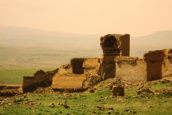

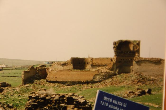
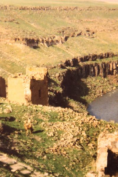

Once a strongly fortified citywall protected Ani. As the weakest side was the northern one due to geographical reasons, this side was the strongest of all. The Armenian King Aschot III began to built it 972 and it was fortified and extended by King Smbat 977 - 990 (Arm: Սմբատյան Պարիսպներ). The Seldshuk King Menücer renovated it in the 11th century after he had taken the city. The relatively good state of the wall is due to the fact that after every conquest, the new rulers renovated the wall. The main damage was caused by the large earthquake 1319.
Nearby cities:
Coordinates: 40°30'32"N 43°34'23"E
- Diyarbakir/Amed Citadel 408 km
- Defensive wall 718 km
- Defensive barrier 778 km
- Ruins of the outer wall of Nebuchadnezzar II 887 km
- Second Perimeter Wall of Adra Prison Complex 996 km
- The historic old walled city of Nicosia 1075 km
- Walled perimeter of Ancient Jerash 1145 km
- Roman wall 1262 km
- The ruins of the walls of ancient City of Ephesus 1428 km
- Old city 1715 km
- Dumanli Mountain (Arjo Aruch) 11 km
- Ani region 17 km
- Argina canyon 24 km
- Digor District 24 km
- Talin District 30 km
- Akyaka District 33 km
- Shirak province 43 km
- Arpaçay District 48 km
- Kars Province 54 km
- Susuz District 55 km