Allahuekber mountains / Karmir Porak
Turkey /
Erzurum /
Senkaya /
World
/ Turkey
/ Erzurum
/ Senkaya
invisible, mountain range
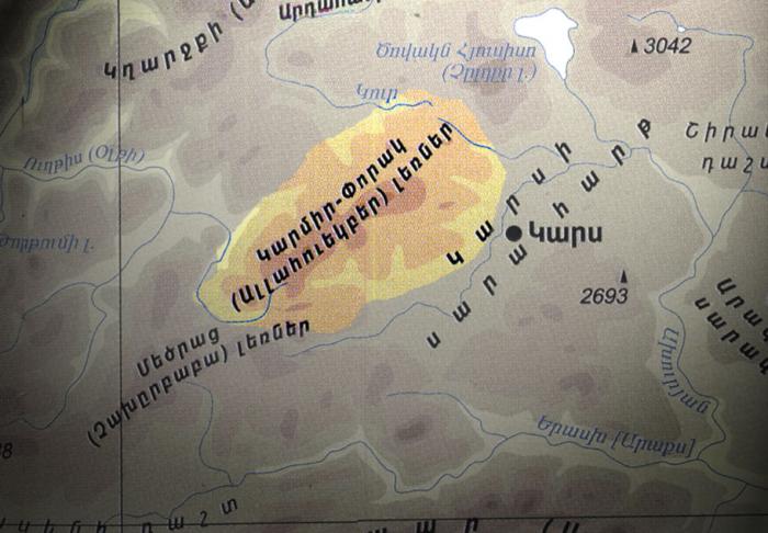
ALLAHUEKBER MOUNTAINS / KARMIR PORAK
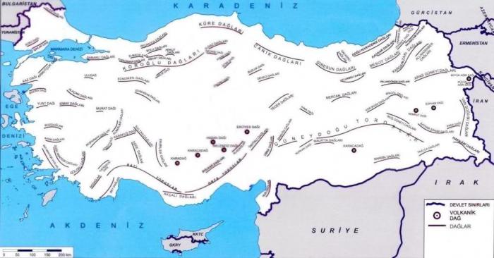
Today Allahuekber mountains (turkish: Allahüekber daglari) are part of the Pontic mountains and lay in the Eastern Anatolia Region of Turkey. Northwest of the mountain range is rich in a variety of woods and since the 2004 at part of Allahuekber mountains and some surrounding areas the National Park was created.
HISTORY
Karmir Porak (armenian: Կարմիր Փորակ /Reddish mountains) ist the historical name of this range of mountains at the north of Armenian Highlands. It was in use until the 1920 when Turkey occupied the Kars region of Democratic Republic of Armenia as they did in West Armenia in 1915-23 period. At 1914 Enver pasha (one of the organizers of Armenian genocide) made first attempt to capture Kars region (which was then part of Russia). Armenians that remembered Hamidian massacre (1894-96) and Adana massacre (1909), provide comprehensive assistance to Russians and Turkish army was defeated, by loosing 90,000 killed, Enver pasha barely managed to fled. This event knows as Sarikamish battle was happened at Karmir Porak mountains, and served to Turks to accuse the Armenians of treason. But turning upside down the causes and consequences of the Armenian Genocide, it took place supposedly because first Armenians helped to Russia. The Kars treaty (1920) hand Karmir Porak mountains and whole Kars region to Turkey.
Wikipedia article: http://en.wikipedia.org/wiki/Allahüekber_Dağları
Nearby cities:
Coordinates: 40°30'29"N 42°30'37"E
- Southern Aras Mountains (Karasu - Aras Dağları) 74 km
- Kaçkar Mountains 167 km
- Vaspurakan mountains 177 km
- Ağbak Mountains 256 km
- Armenian Taurus 448 km
- Nur Mountains / Amanos Mountains 666 km
- Bargylus Mountains 752 km
- al-Qalamoun Mountains/Northern Anti-Lebanon 878 km
- Gilf al Kebir 2403 km
- Nuba Mountains 3482 km
- Allahuekber Mounts. 3123 mt. 7 km
- Yedali 7.4 km
- lake 10 km
- Şenkaya District 15 km
- ruins of old Injidere 23 km
- Kars Province 36 km
- Göle District 37 km
- Oltu District 47 km
- Olur District 50 km
- Ardahan Province 76 km