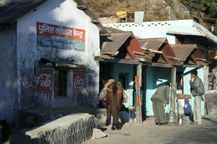
Bataghat
India /
Uttaranchal /
Landhaura Cantonment /
Tehri Road
World
/ India
/ Uttaranchal
/ Landhaura Cantonment
World / India / Uttaranchal / Dehra Dun
village
Add category
Nearby cities:
Coordinates: 30°27'21"N 78°7'19"E
- Jain's Property. 0.9 km
- Institute of Technology Management 1.6 km
- Hanson Field, Woodstock School 2.1 km
- Village Kolti Block Jaupur 2.1 km
- Turner Organic Farm (Woodstock School) 2.4 km
- ITM Officers Mess 2.5 km
- Protestant Cemetery 2.5 km
- Naya Mohalla 2.6 km
- Mullingar. 2.8 km
- Childers Lodge 3 km
Comments