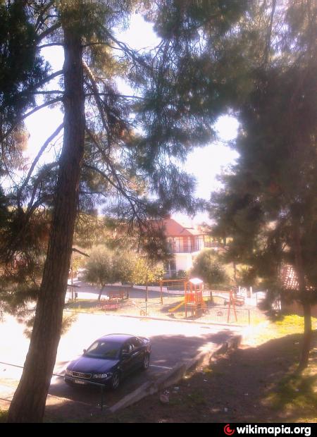
Playground (Grammeni)
Greece /
Fthiytis /
Makrakymi /
Grammeni
World
/ Greece
/ Fthiytis
/ Makrakymi
, 9 km from center (Μακρακώμη)
playground
Add category
Nearby cities:
Coordinates: 38°57'51"N 22°11'37"E
- Angels Garden 209 km
- Sheqer Pikant Lake Park 209 km
- Princ Park 224 km
- Park of Traffic education 225 km
- Playground 279 km
- Playground 291 km
- Apollon Park 298 km
- Eldi Agritourism 310 km
- Playground 759 km
- Park 761 km
- Railway Tunnel Othrios. 7 km
- Agios Stefanos mine 8.6 km
- Highway Tunnel (3000 m) 8.8 km
- The ancient citadel (Acropolis) in the position of Island of Lake Xynias in the limits of the Village Koromilia 10 km
- Panagia Solar Field 15 km
- Lake Metalleio. 17 km
- Settlement of Mines (Metallion) 17 km
- Mount Othrys 35 km
- Peripheral unit of Phthiotis 37 km
- Peripheral unit of Karditsa 49 km
Railway Tunnel Othrios.
Agios Stefanos mine
Highway Tunnel (3000 m)
The ancient citadel (Acropolis) in the position of Island of Lake Xynias in the limits of the Village Koromilia
Panagia Solar Field
Lake Metalleio.
Settlement of Mines (Metallion)
Mount Othrys
Peripheral unit of Phthiotis
Peripheral unit of Karditsa