Ancient Orchomenos
Greece /
Voiotia /
Orkhomenys /
World
/ Greece
/ Voiotia
/ Orkhomenys
, 1 km from center (Ορχομενός)
castle, citadel, archaeological site, fortification, ancient civilization, stonemasonry
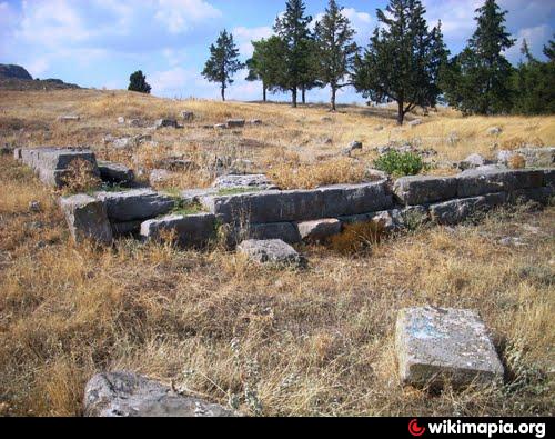
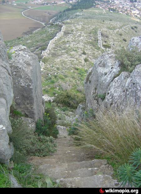
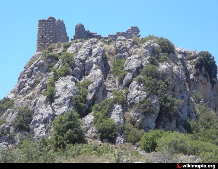
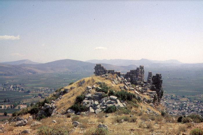

The ancient city of Orchomenos was located on a ridge to the west of the village of Skripou, which now bears the name Orkhomenos in commemoration of the old city. The city was established in the Bronze Age, when it is said to have been home to the Minyans. At this point the settlement reached the shores of the now drained Lake Kopais. Orchomenos was (or became) a frequent rival of Thebes, but was defeated by the latter and incorporated into the Boeotian League. Allied with Sparta against the Thebans at Koroneia (395 BC) and Haliartos (394 BC), Orchomenos was destroyed by the Thebans in 364 BC. It was then rebuilt by Thebes' Phokian enemies in 353 BC, only to be destroyed by the Thebans anew in 349 BC. Thebes' defeat at the hands of Macedon in 338 BC led to the rebuilding of Orchomenos; the Hellenistic city incorporated the higher slopes of the ridge to the west. In 86 BC the Roman commander Sulla defeated the Mithridatic general Archelaos in the vicinity of the city. Orchomenos declined in later Roman times
www.youtube.com/watch?v=a91ukD2vy3s
www.youtube.com/watch?v=a91ukD2vy3s
Nearby cities:
Coordinates: 38°29'37"N 22°58'4"E
- Citadel of Alba Iulia (also known as Citadel Alba Carolina ) 845 km
- Fortress of Arad 866 km
- Pechersk Citadel of Kyiv Fortress 1458 km
- Diyarbakir/Amed Citadel 1509 km
- "Saray-Berke" 2118 km
- Fort Wall 5804 km
- Imperial Citadel 7484 km
- Co Loa citadel - Outer wall 7977 km
- Châu Sa citadel 8622 km
- The Citadel, The Military College of South Carolina 8800 km
- Livadià Rail Station 4.4 km
- ROTOSAL S.A.i.c. Syrmos 4.6 km
- ΕΛIΝ 5 km
- Sanctuary of Apollo at Tegyra 5.7 km
- General Prefectural Hospital of Livadeia 9 km
- Football (soccer) Field 10 km
- Krya 11 km
- Peripheral unit of Boeotia 18 km
- Mount Helicon 19 km
- Peripheral unit of Phthiotis 54 km