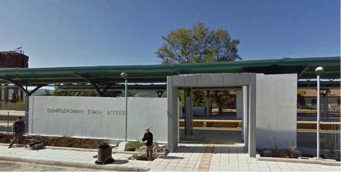
Angiae Rail Stop
Greece /
Fthiytis /
Omvriaki /
World
/ Greece
/ Fthiytis
/ Omvriaki
, 9 km from center (Ομβριακή)
train station
Add category
Nearby cities:
Coordinates: 39°5'26"N 22°11'29"E
- Fàrsala Rail Station 31 km
- Karditsa Rail Station 38 km
- Bràlos Rail Station 49 km
- Kozàni Rail Station 139 km
- Làkkia-Levaèa Rail Station 178 km
- Amyntaio Rail Station 183 km
- Ballsh Train Station 269 km
- Lecce train station 372 km
- Brindisi Railway Station 402 km
- Gioia del Colle railway station 489 km
- Panagia Solar Field 2.1 km
- The ancient citadel (Acropolis) in the position of Island of Lake Xynias in the limits of the Village Koromilia 8.9 km
- Agios Stefanos mine 10 km
- Lake Metalleio. 11 km
- Railway Tunnel Othrios. 11 km
- Settlement of Mines (Metallion) 11 km
- Highway Tunnel (3000 m) 13 km
- Mount Othrys 35 km
- Peripheral unit of Karditsa 40 km
- Peripheral unit of Phthiotis 42 km
Panagia Solar Field
The ancient citadel (Acropolis) in the position of Island of Lake Xynias in the limits of the Village Koromilia
Agios Stefanos mine
Lake Metalleio.
Railway Tunnel Othrios.
Settlement of Mines (Metallion)
Highway Tunnel (3000 m)
Mount Othrys
Peripheral unit of Karditsa
Peripheral unit of Phthiotis