Mount Potts
New Zealand /
West Coast /
Harihari /
World
/ New Zealand
/ West Coast
/ Harihari
mountain
Add category
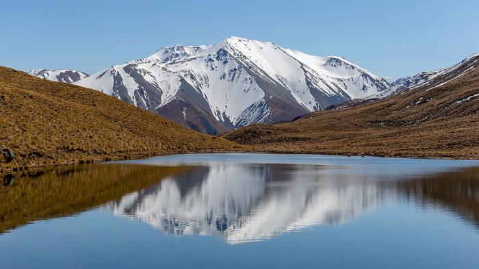
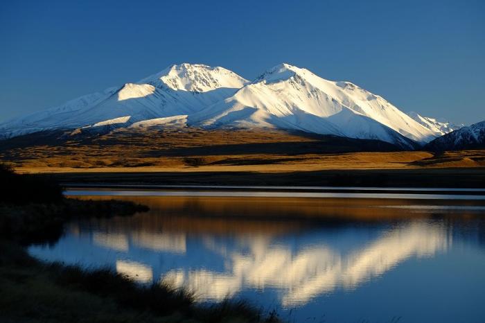
Summit elevation 2180 meters above sea level.
Wikipedia article: http://en.wikipedia.org/wiki/Mount_Potts
Nearby cities:
Coordinates: 43°30'10"S 170°55'33"E
- Peel Forest 48 km
- Southern Alps 48 km
- Mount Hutt Ski Field 48 km
- Turiwhate 90 km
- Mount Kurow 152 km
- H P Crimea Range 213 km
- Mount Cardrona 218 km
- Mt Owen Massif 258 km
- Maungatua 270 km
- Red Hills 273 km
- Southern Alps 37 km
- Murchison Glacier 45 km
- Whakamatua (Lake Coleridge) 53 km
- Lake Tekapo 55 km
- Franz Joseph Glacier 58 km
- Tasman Glacier 60 km
- Fox Glacier 65 km
- Okarito Lagoon 66 km
- Mount Cook forest fire extent 74 km
- Lake Pukaki 86 km