Tharkot (6099 m)
India /
Uttaranchal /
Bageshwar /
World
/ India
/ Uttaranchal
/ Bageshwar
mountain, peak

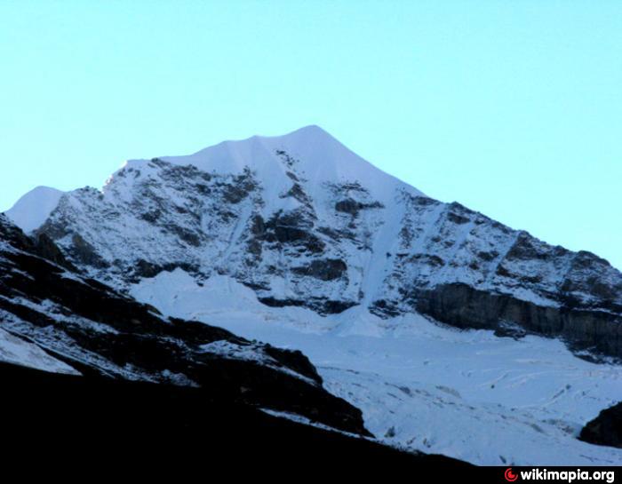
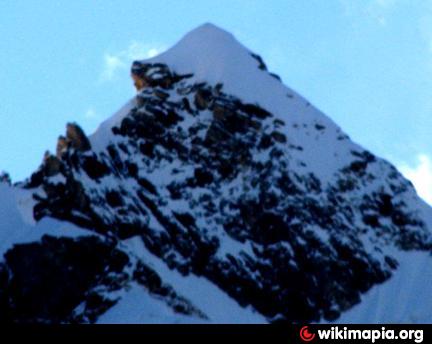
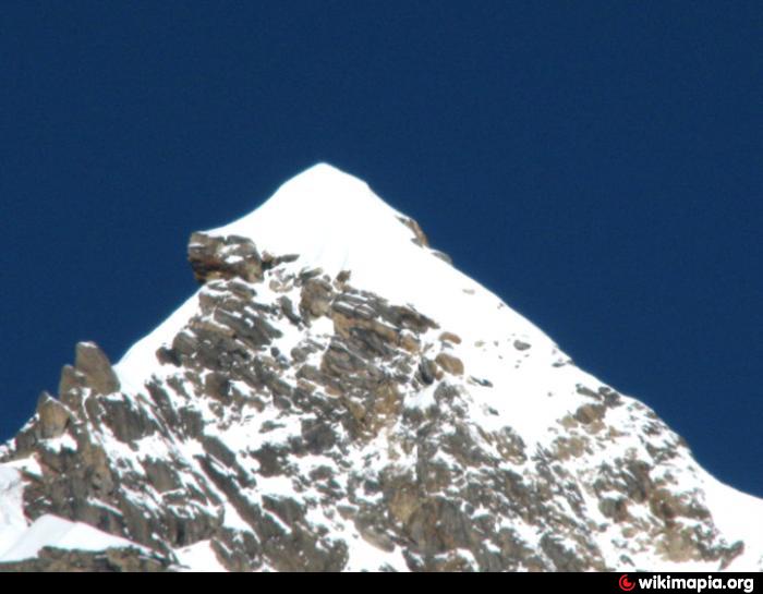
Tharkot 6099 m one of the technical peak in Kumaun region , Uttarakhand .
Rout -- Bharari (RH) - Khati via Dhakuri - Jatolia - Sunder Dunga - Sukhran Cave BC - C - I,C - II,C - II and sumit attempt .
It is Batter to establish camp III .
Rout -- Bharari (RH) - Khati via Dhakuri - Jatolia - Sunder Dunga - Sukhran Cave BC - C - I,C - II,C - II and sumit attempt .
It is Batter to establish camp III .
Wikipedia article: http://en.wikipedia.org/wiki/Tharkot
Nearby cities:
Coordinates: 30°13'30"N 79°49'16"E
- Dudhātoli Dāndā 65 km
- Mana Peaks 79 km
- Bharsār ka Daand 82 km
- Arwa Peaks 86 km
- Chandra Parbat Peaks 93 km
- Manda Peaks 114 km
- Shrikanta (6133m) 130 km
- Kangchenjunga Group of Peaks 855 km
- Parasnath Hill 942 km
- Thaptsa Peak 4000 m 996 km
- Trisul Galcier 12 km
- Dakshini Rishi Glacier 13 km
- Pindari Glacier 19 km
- Nanda Devi National Park 20 km
- Nanda Devi Massif 22 km
- Uttari Nanda Devi Glacier 25 km
- Shalang Glacier 28 km
- Pachhu Glacier 29 km
- Uttari Rishi Glacier 33 km
- Milam Valley 36 km