Bus Stop (Nuneaton)
United Kingdom /
England /
Nuneaton /
Edward Street
World
/ United Kingdom
/ England
/ Nuneaton
bus stop
Add category
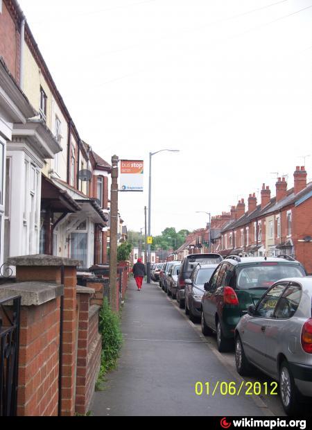
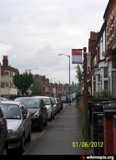
A bus stop without a shelter situated outside No. 99 Edward Street, it looks like it is not in service anymore. There use to be a bus service that use to go through Edward Street to go the George Eliot hospital and so forth back to the town centre.
Nearby cities:
Coordinates: 52°31'12"N 1°28'19"W
- Fox Road/Sherde Road 97 km
- Piccadilly Gardens 119 km
- First Bus Wigan Depot 138 km
- Carr Crofts Town Street 142 km
- Legrams Lane Coppice Wood Grove 143 km
- Leeds Road Walnut Street 143 km
- Leeds Road Cracoe Road 143 km
- Liverpool Waters Phase TWO 143 km
- Meanwood Road Education Road 144 km
- Selby Street Massey Close 155 km
- Silken Court 0.3 km
- Chilvers Coton Community School and Nursery's Grounds 0.3 km
- Marlborough Road Recreational Park 0.3 km
- Greenmoor Road / Milford Street Allotments 0.5 km
- Abbey 0.7 km
- Bar Pool 1.3 km
- Wem Brook 1.7 km
- Chilvers Coton 2.7 km
- Arbury 3.3 km
- Warwickshire 24 km