The Pingles (Nuneaton)
United Kingdom /
England /
Attleborough /
Nuneaton
World
/ United Kingdom
/ England
/ Attleborough
green space, green area
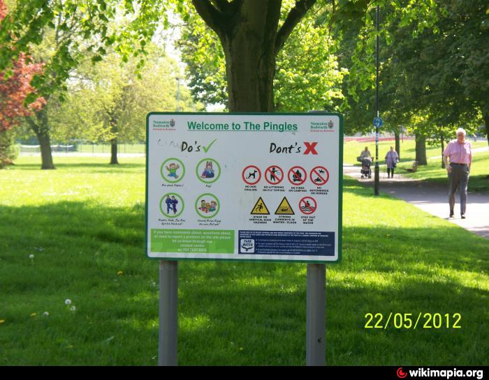


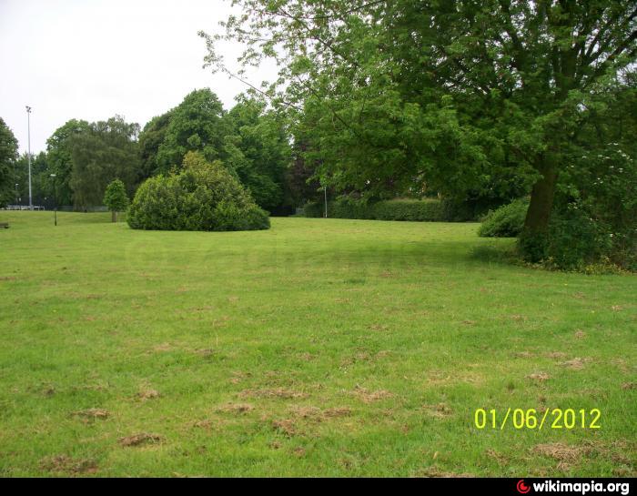
A public green space maintained by the Nuneaton & Bedworth Borough council it is situated north of The Pingles Leisure Centre.
Nearby cities:
Coordinates: 52°30'58"N 1°27'46"W
- Trentham Estate and Gardens 72 km
- Walton Hall Gardens and Golf Course 122 km
- Waterloo Seafront Gardens 150 km
- Beverley Westwood 162 km
- Grand Avenue 182 km
- Scargill Movement 185 km
- North Avenue 185 km
- Saltburn Valley Gardens 232 km
- Cross Lane Meadow Nature Reserve 272 km
- Ryton WIllows Local Nature Reserve 275 km
- The Pingles Leisure Centre 0.1 km
- Pingles Sports Ground 0.5 km
- Middlemarch School Grounds 0.9 km
- Attleborough 1.2 km
- Wem Brook 1.2 km
- Caldwell 1.3 km
- Hill Top 1.6 km
- Chilvers Coton 3 km
- Arbury 3.7 km
- Warwickshire 24 km