Hibbs Bridge
| NRHP - National Register of Historic Places
USA /
Virginia /
Middleburg /
World
/ USA
/ Virginia
/ Middleburg
NRHP - National Register of Historic Places, bridge
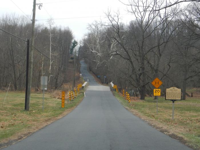
Historic stone bridge that carries SR-734 over Beaverdam Creek. It was built in the mid 19th century and is listed on the National Register of Historic Places.
Wikipedia article: http://en.wikipedia.org/wiki/Hibbs_Bridge
Nearby cities:
Coordinates: 39°2'14"N 77°43'21"W
- Castleman's Ferry Bridge 18 km
- Castlemans Ferry Bridge (westbound) 18 km
- Point of Rocks Bridge 30 km
- Sandy Hook Bridge 32 km
- Shenandoah River Bridge - U.S. Route 340 32 km
- Westbound I-66 Bridge over the Shenandoah River 41 km
- Interstate 66 Bridges over the Shenandoah River 41 km
- Old Route/Interstate 144/70 Bridge (Abandoned) 51 km
- Devil's Backbone County Park 56 km
- Western Maryland Railway Bridge (Abandoned) 88 km
- Loudoun County, Virginia 8.6 km
- Llangollen 15 km
- Sky Meadows State Park 21 km
- Clarke County, Virginia 25 km
- G. Richard Thompson Wildlife Management Area 26 km
- Fauquier County, Virginia 37 km
- Prince William County, Virginia 42 km
- Warren County, Virginia 44 km
- Rappahannock County, Virginia 53 km
- Frederick County, Virginia 54 km