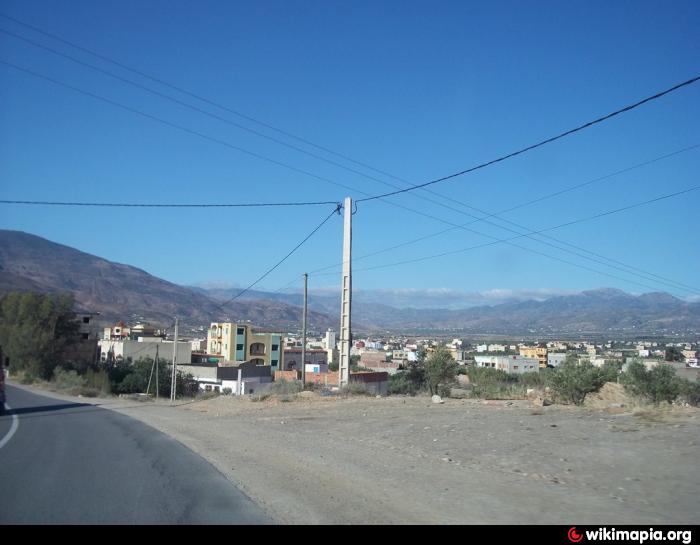
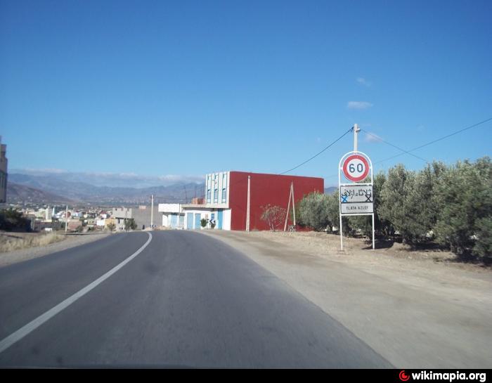
Tlet Azlef
Morocco /
Taza-Al Hoceima-Taounate /
Imzouren /
World
/ Morocco
/ Taza-Al Hoceima-Taounate
/ Imzouren
, 37 km du centre (centre-ville le plus proche) (إمزورن, امزورن)
Bassin
Villes proches:
Coordonnées : 34°53'33"N 3°40'22"W
- tamath an kaddouri hamouch 0.5 km
- thizi wachba malk wlad both7arrawin el achaouche 1.7 km
- chminnas 2.6 km
- Iya Oussra 4.1 km
- beni 3azzimane 4.7 km
- AZROU FIGHRA 4.8 km
- tha thamouth khari mustapha mara 5.1 km
- cimetière Beni Azzimane 5.4 km
- sidi matah 5.4 km
- la terre de el aich pa Ibrahim 6.1 km
- Hôpital 0.3 km
- wafa banque 0.4 km