Seltún Geothermal Area (Hafnarfjörður)
Iceland /
Hofudborgarsvaedi /
Hafnarfjordur /
Hafnarfjörður
World
/ Iceland
/ Hofudborgarsvaedi
/ Hafnarfjordur
geothermal energy
Add category
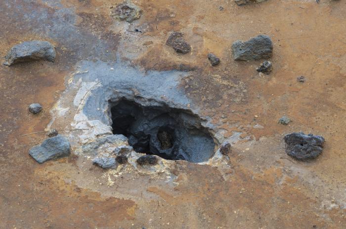
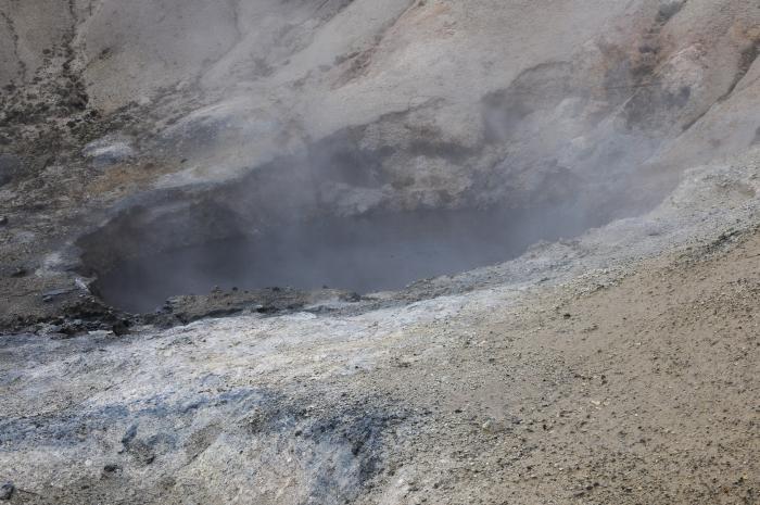
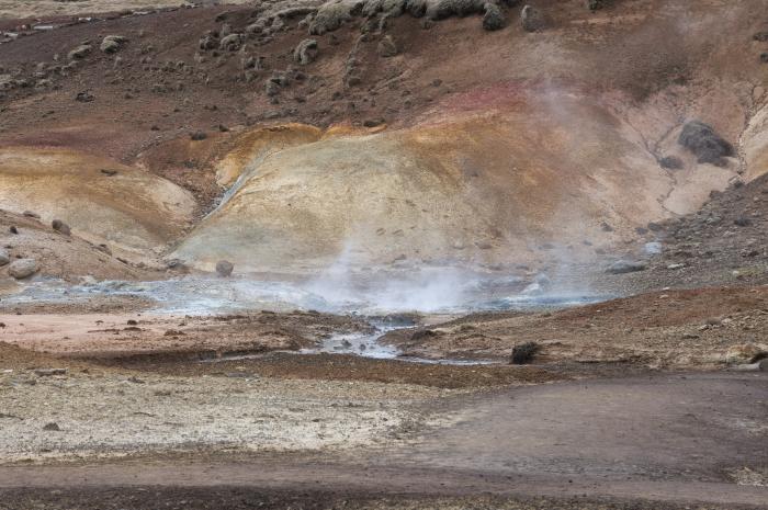
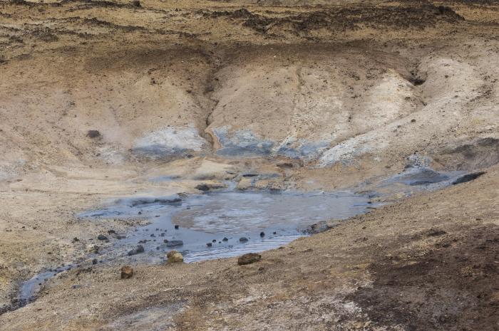
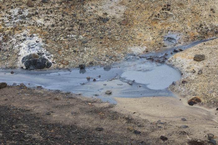
Seltún Geothermal Area is a geothermal energy located in Hafnarfjörður. Seltún Geothermal Area - Hafnarfjörður on the map.
Nearby cities:
Coordinates: 63°53'46"N 22°3'16"W
- Blue Lagoon 20 km
- Námafjall 315 km
- Beowawe Geyser Field (The Geysers) 6247 km
- TerraGen Dixie Valley Geothermal Power Plant 6359 km
- Geothermal Wells 6442 km
- Geysers Geothermal Field 6687 km
- El Tatio 10390 km
- Sarulla Operation (Geothermal)- Namora I Langit Field 11286 km
- Kawasan Geothermal, Chevron 12491 km
- Kuirau Park 16922 km
- Grænavatn 1.3 km
- Djúpavatn 3.4 km
- Krýsuvík 4.1 km
- Kleifarvatn 4.8 km
- Quarry 10 km
- Reykjanes 10 km
- Brennisteinsfjöll 12 km
- Herdísarvík 14 km
- Vatnsleysuvík 16 km
- Litluborgir Nature Reserve 17 km