Old Ski Bowl Vista Point and Trailhead
USA /
California /
MacCloud /
World
/ USA
/ California
/ MacCloud
World / United States / California
trailhead, ski resort / area
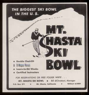
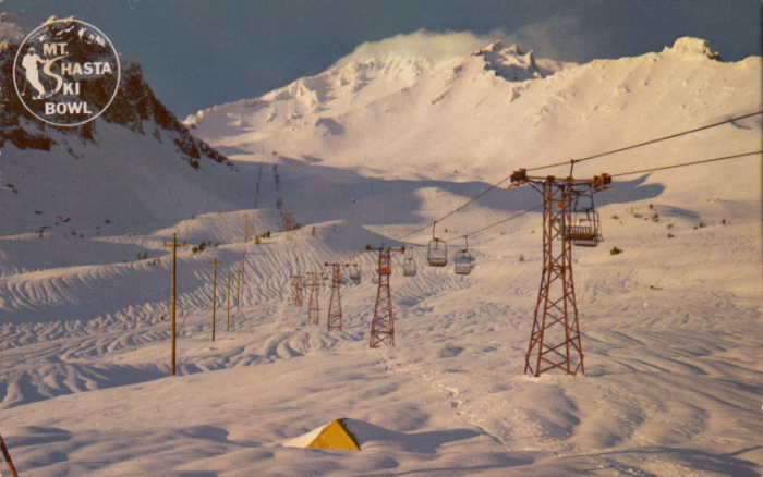
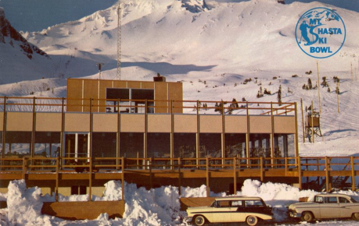
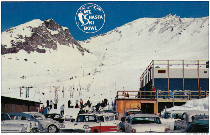
The Ski Park was the second ski area constructed on Mount Shasta, but the only one which now survives. The old Mount Shasta Ski Bowl had been built in 1958 in a huge open cirque much higher up on the southern flank of the volcano, with a lodge at 7,800 ft (2,400 m) and lifts topping out above timberline at 9,200 ft (2,800 m). The ski area had often been in financial trouble over the next two decades. A massive avalanche in January 1978 destroyed the main chairlift and the Ski Bowl closed permanently.
Nearby cities:
Coordinates: 41°21'40"N 122°12'1"W
- Cloud Cap Inn - Elliot Glacier Trailhead 452 km
- Cougar Mountain Red Town Trainlead 687 km
- Devils Orchard Nature Trail 749 km
- Trail of the Coeur d'Alenes trailhead 788 km
- Squalicum Creek Park 825 km
- Monte Cristo Trailhead and Parking Lot 885 km
- Uncle Tom's Trail Area 1021 km
- Green River Lakes Trailhead 1037 km
- Avalanche Creek Campground 1047 km
- Sinclair Creek Trailhead 1143 km
- Mt. Shasta Ski Park 3.8 km
- Mount Shasta 4.8 km
- McCloud, California 13 km
- Black Butte 13 km
- Lake Siskiyou 15 km
- Castle Crags State Park 24 km
- Lake McCloud 25 km
- Iron Canyon Reservoir 39 km
- McArthur-Burney Falls Memorial State Park 61 km
- Lake Britton 62 km